Collegeville, Nova Scotia
Collegeville, Nova Scotia
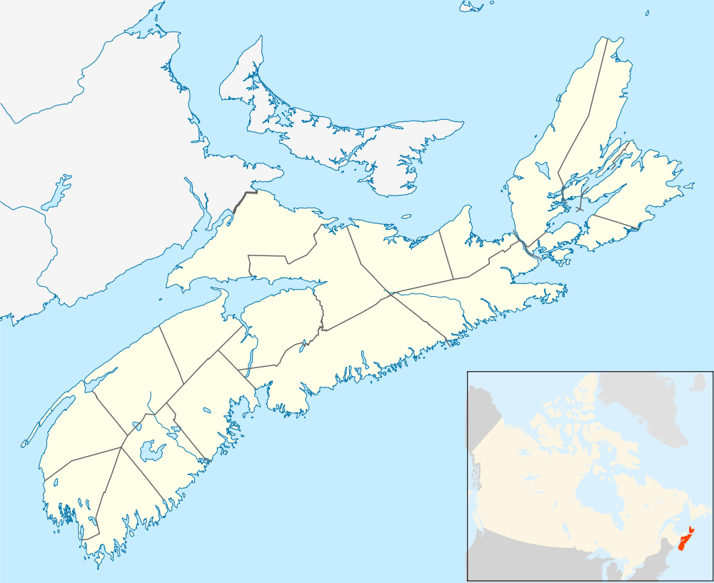
Collegeville (Ashdale) is located in Antigonish County, roughly 15 km southwest of Antigonish. The highest temperature ever recorded in Nova Scotia occurred at the Collegeville climate station, when on 19 August 1935 the mercury climbed to 38.3 °C (101 °F).
Climate
| Climate data for Collegeville, Nova Scotia, 1981–2010 normals, extremes 1916–present | |||||||||||||
|---|---|---|---|---|---|---|---|---|---|---|---|---|---|
| Month | Jan | Feb | Mar | Apr | May | Jun | Jul | Aug | Sep | Oct | Nov | Dec | Year |
| Record high °C (°F) | 17.0 (62.6) |
15.5 (59.9) |
26.5 (79.7) |
29.0 (84.2) |
33.9 (93) |
35.0 (95) |
36.1 (97) |
38.3 (100.9) |
34.4 (93.9) |
28.3 (82.9) |
25.6 (78.1) |
19.0 (66.2) |
38.3 (100.9) |
| Average high °C (°F) | −1.5 (29.3) |
−1.2 (29.8) |
2.6 (36.7) |
8.2 (46.8) |
15.2 (59.4) |
20.4 (68.7) |
24.1 (75.4) |
23.8 (74.8) |
19.5 (67.1) |
13.1 (55.6) |
7.1 (44.8) |
1.6 (34.9) |
11.1 (52) |
| Daily mean °C (°F) | −6.5 (20.3) |
−6.1 (21) |
−2.1 (28.2) |
3.5 (38.3) |
9.3 (48.7) |
14.2 (57.6) |
18.3 (64.9) |
18.1 (64.6) |
13.9 (57) |
8.3 (46.9) |
3.2 (37.8) |
−2.6 (27.3) |
6.0 (42.8) |
| Average low °C (°F) | −11.4 (11.5) |
−11.0 (12.2) |
−6.8 (19.8) |
−1.3 (29.7) |
3.4 (38.1) |
7.9 (46.2) |
12.4 (54.3) |
12.5 (54.5) |
8.4 (47.1) |
3.4 (38.1) |
−0.7 (30.7) |
−6.7 (19.9) |
0.8 (33.4) |
| Record low °C (°F) | −34.4 (−29.9) |
−37.2 (−35) |
−30.6 (−23.1) |
−23.3 (−9.9) |
−8.0 (17.6) |
−4.4 (24.1) |
−1.1 (30) |
−0.6 (30.9) |
−6.7 (19.9) |
−10.0 (14) |
−18.9 (−2) |
−30.5 (−22.9) |
−37.2 (−35) |
| Average precipitation mm (inches) | 110.9 (4.366) |
87.9 (3.461) |
108.3 (4.264) |
94.2 (3.709) |
103.5 (4.075) |
102.5 (4.035) |
86.7 (3.413) |
97.6 (3.843) |
114.8 (4.52) |
140.6 (5.535) |
140.2 (5.52) |
127.9 (5.035) |
1,315.1 (51.776) |
| Average rainfall mm (inches) | 63.0 (2.48) |
45.3 (1.783) |
75.2 (2.961) |
81.4 (3.205) |
102.6 (4.039) |
102.5 (4.035) |
86.7 (3.413) |
97.6 (3.843) |
114.8 (4.52) |
139.8 (5.504) |
130.2 (5.126) |
85.3 (3.358) |
1,124.4 (44.268) |
| Average snowfall cm (inches) | 47.8 (18.82) |
42.6 (16.77) |
33.2 (13.07) |
12.8 (5.04) |
0.9 (0.35) |
0.0 (0) |
0.0 (0) |
0.0 (0) |
0.0 (0) |
0.8 (0.31) |
10.0 (3.94) |
42.7 (16.81) |
190.7 (75.08) |
| Source: Environment Canada[1][2][3][4] | |||||||||||||
References
- ↑ "Collegeville". Canadian Climate Normals 1981–2010. Environment Canada. Retrieved 15 May 2016.
- ↑ "December 2008". Canadian Climate Data. Environment Canada. Retrieved 15 May 2016.
- ↑ "April 2009". Canadian Climate Data. Environment Canada. Retrieved 15 May 2016.
- ↑ "March 2012". Canadian Climate Data. Environment Canada. Retrieved 15 May 2016.
Coordinates: 45°29′28″N 62°00′54″W / 45.49111°N 62.01500°W
This article is issued from Wikipedia - version of the 9/29/2016. The text is available under the Creative Commons Attribution/Share Alike but additional terms may apply for the media files.