Clover Mountains
| Clover Mountains | |
|---|---|
| Highest point | |
| Elevation | 2,100 m (6,900 ft) |
| Geography | |
| Country | United States |
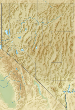
| State | Nevada |
| District | Lincoln County |
| Range coordinates | 37°24′17″N 114°19′37″W / 37.4047°N 114.3269°WCoordinates: 37°24′17″N 114°19′37″W / 37.4047°N 114.3269°W |
| Borders on |
Meadow Valley Wash-SW, W & NW Cedar Range-NE Bull Valley Mountains-E Tule Desert-SW, S & SE |
| Topo map | USGS Fife Mountain |
The Clover Mountains are a mountain range in Lincoln County, Nevada.[1]
The Clover Mountains Wilderness make up a large part of the mountain range.
The Clover Mountains are the southern mountains on the east perimeter of the Meadow Valley Wash watershed.
| Preceded by –NORTH– Cedar Range |
Clover Mountains _____ Great Basin Divide |
Succeeded by –EAST– Utah state-line (Bull-Valley Mtns) |
References
- 1 2 "Clover Mountains". Geographic Names Information System. United States Geological Survey. Retrieved 2009-05-04.
See also
This article is issued from Wikipedia - version of the 6/13/2013. The text is available under the Creative Commons Attribution/Share Alike but additional terms may apply for the media files.