Claypole, Lincolnshire
| Claypole | |
 Church of St Peter, Claypole |
|
 Claypole |
|
| Population | 1,382 (2011) |
|---|---|
| OS grid reference | SK850490 |
| – London | 105 mi (169 km) S |
| Civil parish | Claypole |
| District | South Kesteven |
| Shire county | Lincolnshire |
| Region | East Midlands |
| Country | England |
| Sovereign state | United Kingdom |
| Post town | Newark |
| Postcode district | NG23 |
| Dialling code | 01636 |
| Police | Lincolnshire |
| Fire | Lincolnshire |
| Ambulance | East Midlands |
| EU Parliament | East Midlands |
| UK Parliament | Sleaford and North Hykeham |
|
|
Coordinates: 53°02′00″N 0°44′00″W / 53.0333°N 0.7333°W
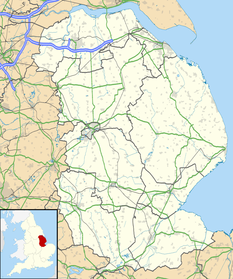
Claypole is a village and civil parish in the South Kesteven district of Lincolnshire, England. The population of the civil parish at the 2011 census was 1,382.[1] It is situated 4 miles (6.4 km) south-east from the market town of Newark-on-Trent, just east of the Grantham to Newark stretch of the A1.
The name Claypole is from the Old English 'claeg' and 'pol', for "clayey pool".[2] The village is recorded in the Domesday Book as "Claipol" and as having a church, a priest and one mill.
The county of Nottinghamshire forms the western and northern borders of the parish, with Fenton and Stubton parishes to the east and Dry Doddington to the south; the River Witham flows by the west side of the village.[3] The village has a population of around 1100 people and 560 dwellings, with the parish covering about 3,000 acres (1,200 ha).
The East Coast Main Line passes close to the north-east of the village, with three level crossings, including one on Osterfen Lane[4] and another on Stubton Road.[5]
Claypole primary school is on School Lane.[6] Next to the school is a cricket and football field, home to local teams. In the early 1900s public benefactor Harry Coulby gifted the village school and village hall, and built an American-style house.
Claypole's Grade I listed Anglican parish church is dedicated to St Peter and dates from c.1300.[7] The village public house is the Five Bells Inn on Main Street, and there is a butchers on Doddington Lane.
Gallery
- ="180px"
 Oil seed rape in full flower, with St Peter's in the background
 Looking South along the East Coast Main Line from Osterfen Lane crossing. Claypole Station was about 200m from here
References
- ↑ "Civil parish population 2011". Neighbourhood Statistics. Office for National Statistics. Retrieved 25 April 2016.
- ↑ Mills, Anthony David (2003); A Dictionary of British Place Names, p. 117, Oxford University Press, revised edition (2011). ISBN 019960908X
- ↑ "Mill Farm Bridge & Millpond, Claypole", Geograph.org.uk. Retrieved 14 July 2011
- ↑ "East Coast Main Line, Claypole", Geograph.org.uk. Retrieved 14 July 2011
- ↑ "High Level Crossing", Geograph.org.uk. Retrieved 14 July 2011
- ↑ Claypole Primary School, claypoleprimary.org
- ↑ Historic England. "Church of St Peter (1062912)". National Heritage List for England. Retrieved 17 July 2013.
External links
 Media related to Claypole at Wikimedia Commons
- "Claypole", Genuki.org.uk
- Parish Council
- Claypole Cricket Club
- Claypole Warriors JFC
England Portal | |
| Unitary authorities | |
| Boroughs or districts | |
| Major settlements |
|
| Topics | |