Cholame Hills
| Cholame Hills | |
|---|---|
|
View of the Cholame Hills from CA 46. | |
| Highest point | |
| Elevation | 675 m (2,215 ft) |
| Geography | |
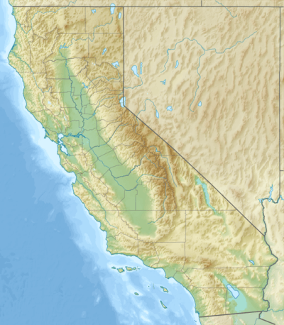 Location of the Cholame Hills in California [1] | |
| Country | United States |
| State | California |
| District | Monterey County |
| Range coordinates | 35°49′14″N 120°25′35″W / 35.8205°N 120.4265°WCoordinates: 35°49′14″N 120°25′35″W / 35.8205°N 120.4265°W |
| Parent range | California Coast Ranges |
| Topo map | USGS Cholame Hills |

The Cholame Hills are a low mountain range, in the California Coast Ranges, in extreme southeastern Monterey County, California.[1] To the south of the range lies Route 46 and the town of Cholame, California.
See also
- California Flats Solar Project — proposed for the area.
References
- 1 2 "Cholame Hills". Geographic Names Information System. United States Geological Survey. Retrieved 2009-05-04.
This article is issued from Wikipedia - version of the 9/24/2016. The text is available under the Creative Commons Attribution/Share Alike but additional terms may apply for the media files.