Chitral Airport
| Chitral Airport چترال ہوائی اڈا | |||||||||||
|---|---|---|---|---|---|---|---|---|---|---|---|
 | |||||||||||
| IATA: CJL – ICAO: OPCH | |||||||||||
| Summary | |||||||||||
| Operator | Pakistan Civil Aviation Authority | ||||||||||
| Serves | Chitral, Khyber-Pakhtunkhwa | ||||||||||
| Elevation AMSL | 1,500 m / 4,921 ft | ||||||||||
| Coordinates | 35°52′54″N 071°47′53″E / 35.88167°N 71.79806°ECoordinates: 35°52′54″N 071°47′53″E / 35.88167°N 71.79806°E | ||||||||||
| Map | |||||||||||
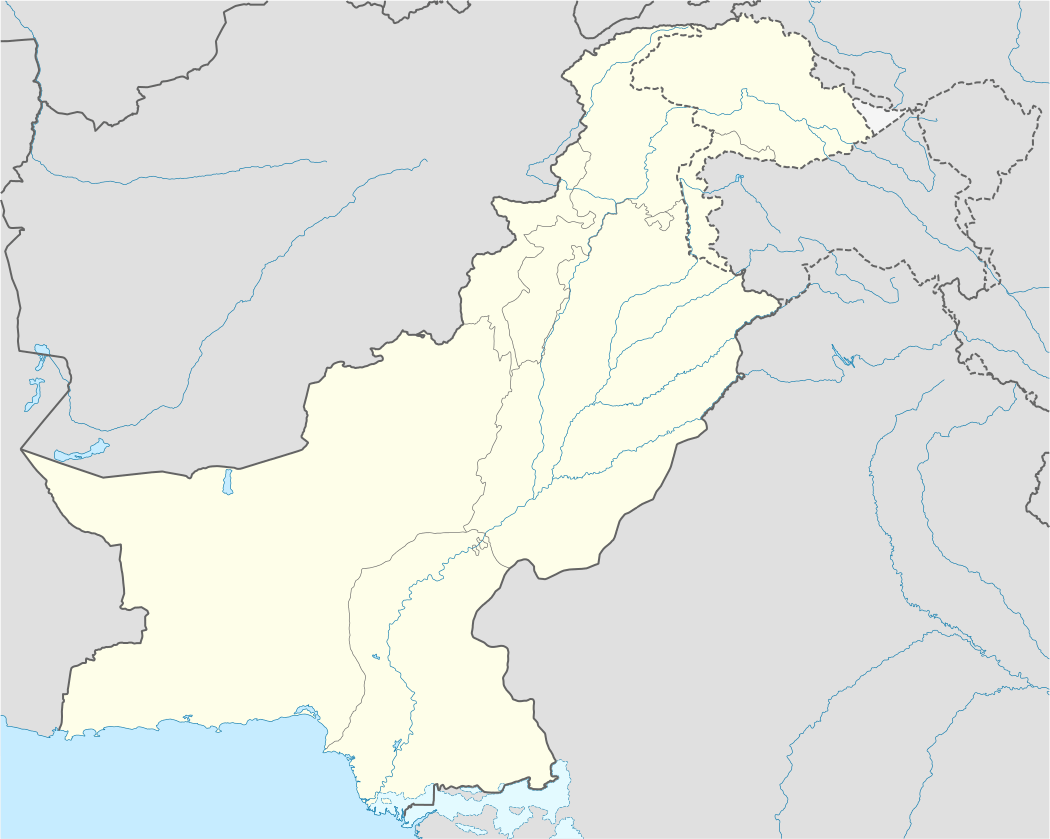 CJL Location of the airport in Pakistan | |||||||||||
| Runways | |||||||||||
| |||||||||||
Chitral Airport (IATA: CJL, ICAO: OPCH) is a small domestic airport situated 2 NM (3.7 km) north of the city centre of Chitral,[1] in Khyber-Pakhtunkhwa province of Pakistan.
Airlines and destinations
| Airlines | Destinations |
|---|---|
| Pakistan International Airlines | Islamabad, Peshawar |
See also
- List of airports in Pakistan
- Airlines of Pakistan
- Transport in Pakistan
- Pakistan Civil Aviation Authority
References
- 1 2 AIP Pakistan: OPCH – Chitral
- ↑ Airport information for OPCH at World Aero Data. Data current as of October 2006.Source: DAFIF.
- ↑ Airport information for CJL at Great Circle Mapper. Source: DAFIF (effective October 2006).
External links
This article is issued from Wikipedia - version of the 12/4/2016. The text is available under the Creative Commons Attribution/Share Alike but additional terms may apply for the media files.