Chhachh
| Chach چھچھ | |
|---|---|
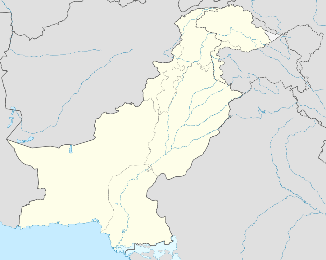 Chach Location in Pakistan | |
| Coordinates: 33°53′00″N 72°22′00″E / 33.88333°N 72.36667°E | |
| Country |
|
| Province | Punjab |
| District | Attock District |
| Time zone | PST (UTC+5) |
| • Summer (DST) | +6 (UTC) |
Chhachh or Chach (Punjabi and Urdu: چھچھ ) is a region consisting of an alluvial plain extending from Attock District of Punjab, Pakistan, southwest of Topi and Swabi. It is bounded on the north and west by the Indus river and is about 19 miles (31 km) long (from east to west) and 9 miles (14 km) broad. Percolation from the Indus makes the area extremely fertile,[1] and it was the most fertile area of Rawalpindi Division. The population of the area is primarily made up of Hindko and Pashto speakers.
Location
Chhachh is 7 km (4 mi) off the Pindi-Peshawar GT road (northwards). Chach is at the edge of Khyber-Pakhtunkhwa - Punjab border. It is 20.4 km from Attock city and 22.9 km from Topi Khyber-Pakhtunkhwa.
Chach is a plain which rolls from the Hazara-Gandhara Hills south to Kamra, and from east of the Indus to the broken lands near Lawrencepur. It is an alluvial plain in the north of the District and tehsil of Attock, Punjab, lying between 33°53' and 33° 59' N. and 72° 22' and 72°44' E.
History
The name "Chhachh" means "a bowl type container" according to the native language, which was used to drink lassi by the locals. Geographically, the surface of the Chhachh region is like a bowl. Chhachh has been identified with the Chukhsa or Chuskha country of the Taxila copperplate inscription. In the Muslim period it was known as Chhachh-Hazara, or Takht Hazara, "below Hazara", or "Plain of Hazara". Hazro is n this plain.[1][2]
Tribes
A small percentage of the population of Chhachh has Pashtun roots and belongs to Qais Abdur Rashid. They are mostly descendants of the tribes of Durrani, Tanoli, Alizai, Yousafzai, Malizai, Kakar, Chechi, Jadoon, Tareen, Chhachi, Tahirkheli, Sadozai, Khattak and Barakzai. They arrived in the area around 1000 AD as part of the army of the Ghaznavid Empire and made it their permanent home after defeating the Hindu confederation near Hazro.
Proof of this is that many of the villages and individual quarters are named after Pashtun personalities and tribes, markedly showing who had founded them. These include Aka Khel, Aja khel, Nasozai, Musazai, Musakhel, Qasim Khel, Mula Khel, Inayat Khel, Utman Khel, Saleem Khan, Ghorghushti, Adalzai, Grhe Alizai, Pirzai, and Barazai among others.
Many of these Pashtuns refer to themselves as Pukhtuns and primarily speak Hindko. Chach Pashtuns were revered for their fighting ability in ancient times and more recently for their many advancements in education, culture, and society. It is claimed that Hindko was the original ancient language of Chhachh when it was part of the Gandharan civilisation and was adopted over time by the Pashtun tribes of the area. The remaining population of Chach consists of Awan, Maliks, Mughals, Kashmiris, Jats, Qazi, Bangashs, Rajputs, Gujjars, and Syeds who are almost in the same number to the Pashtun tribes.
However, there are villages (Waisa, Tajak, Shadi Khan, and Painda) that are predominantly inhabited by Pashto speakers. Even though the majority of Chach Pathans may no longer speak Pashto as their mother tongue, they still zealously guard the pashtunwali tribal social traditions.
Villages
There are some 84 villages in the Chhachh valley, including:
- Haroon
- Samaan
- Lakori
- Daman
- Ramo Murariya
- GhourGhushti
- Shamsabad
- Kamalpuralam (The Barakzai's Village)
- Tajak
- Sirka (The Barakzai's Village)
- Nartopa
- Dilawarabad (Malizai)
- Kalu Kalan
- Waisa
- Jalalia, Punjab
- Momanpur
- Malhoo
- Shadi Khan
- Malak Mala
- Garhi Matani
- Barazai
- Shinka
- Behbudi
- Formulli
- Mallah
- Gondal Mandi
- Chechi
- Pirzai (Alizai's Village)
- Pirdad
- Haidra
- Mansar Camp
- Khura Khail
- Sarwana
- Hameed
- Ababakar
- Basia Village
- Yasin Kalan
- Bahadar Khan
See also
- Chhachi (Pashtun)
- Hazro, Punjab
- Basia Village
- Bahadar Khan
References
- 1 2 Chach (Chhachch) - Imperial Gazetteer of India, v. 10, p. 115
- ↑ The Indian Antiquary, vol. xxv, pp. 174-5.
External links
Coordinates: 24°43′59″N 68°30′00″E / 24.733°N 68.500°E