Chavash Varmane Bor National Park
| Chavash Varmane Bor National Park | |
|---|---|
| Чаваш Вармане | |
|
IUCN category II (national park) | |
 | |
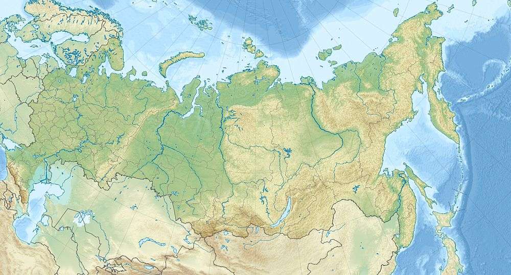 Location of Park | |
| Location | Chuvashia |
| Nearest city | Cheboksary |
| Coordinates | 54°45′N 47°08′E / 54.750°N 47.133°ECoordinates: 54°45′N 47°08′E / 54.750°N 47.133°E |
| Established | June 23, 1993 |
| Governing body | FGBI "Chavash Varmane Bor" |
| Website | http://www.npark21.ru/ |
Chavash Varmane Bor National Park (Russian: Национальный парк «Чаваш Вармане»)) (in English, the "Chuvash Forest") is a large contiguous (unbroken) forest in the middle Volga River region. The park was created to serve the dual purpose of preserving biological diversity and the protection of a site representative of the Chuvash people.[1] The park is about 100 km west of where the Kama River enters the Volga, on the East Central Plain of Europe. It is in Shemurshinsky District of the Republic of Chuvashia, Russia.[2]
Topography
In an area of about 100 square miles, Chavash Vermane has three different types of forest: southern taiga (conifers), Volga Upland oak forest, and mixed broadleaf and coniferous forest.[1] The covered territory is roughly rectangular, being 24 km north to south and 17 km east to west. A 12 km buffer zone surrounds the park, and interior zones have been established for ecological reserve-replacement, for recreation, and for visitor service facilities. 95% of the park is forest, with the remaining land being marsh, grassland, and pasture.[3] The forest is situated on a network of river valleys cut by the Abamza River from the north, the Bezdna River from the west, which meet in the middle of the park and flow south, plus numerous other tributaries. Many of the rivers meander through flat floodplains.[4]

Climate and Ecoregion
The climate of the Chuvash Forest is moderate continental (Köppen climate classification Dfb). Average temperatures range from –13 C (-9 F) in January to 19 C (66 F) in July. Annual precipitation average 607 - 657 mm.[5]
| Cheboksary, Chuvashia, Russia | ||||||||||||||||||||||||||||||||||||||||||||||||||||||||||||
|---|---|---|---|---|---|---|---|---|---|---|---|---|---|---|---|---|---|---|---|---|---|---|---|---|---|---|---|---|---|---|---|---|---|---|---|---|---|---|---|---|---|---|---|---|---|---|---|---|---|---|---|---|---|---|---|---|---|---|---|---|
| Climate chart (explanation) | ||||||||||||||||||||||||||||||||||||||||||||||||||||||||||||
| ||||||||||||||||||||||||||||||||||||||||||||||||||||||||||||
| ||||||||||||||||||||||||||||||||||||||||||||||||||||||||||||
The duration of the warm season (daily temperatures remaining above 0 C), is 200–201 days per year. There is cycle of drought every 3–4 years, but sufficient rain otherwise to support the forest.[6]
Plants
An inventory of trees conducted in 2005 recorded 45% as pine, 27% birch, 15% aspen and 13% other. Saplings were recorded at 48%, middle-aged at 40%, and 6% aged; the average age of trees in the park is 50 years. Park management noted that the high levels of middle-aged trees was due to intensive logging in pre-park times, as well as a large forest fire in 1972.[7]
Animals
The park is highly representative of Chuvashia's animal life. Over 90% of the species found in the Chuvash Republic are found in Chavash Vermane. Records indicate 40 species of mammals, 170 species of birds (90 of which are nesting or breeding in the park), 16 species of amphibians or reptiles, and 19 species of fish. The types of animals expected to be found in pine and broadleaf temperate forest are found in the territory: hare, squirrel, badger, polecat, mink, marten, pond frogs, etc. Since establishment of the park, hunting has been prohibited and brown bear, wolves, and beaver have returned.[7] A count of the fish in the rivers and floodplain lakes showed nine species - Chub, Dace, Striped bystranka, Common roach, Gudgeon, Tench, Ide, Loach, and Trout - accounting for 95% of the catch. In recent years, the park reports crayfish in the rivers, described as an indicator of improving water cleanliness.[7] Birds of prey include the near-threatened Pallid harrier and the vulnerable Greater spotted eagle.[8]
History and Tourism
In ancient times, the Chuvash Forest was in the meeting zone between two cultures: the nomadic steppe peoples to the south, and the agriculture culture in the forested area. Forest industry included charcoal making and the extraction of tar from the trees.[1][9]
The park has numerous "ecological trails" and "ethno-ecological' trails, with educational signs about the forest environment and the use of the forest by ancestors. There are trails accessible to all ages and abilities.[10] [11]
See also
References
- 1 2 3 "General Information - Chavash Vermane National Park".
- ↑ "Official Site: Chavash Varmane Bor National Park". FGBU National Park Chavash Varmane Bor.
- ↑ "National Park Chavash Vermane (in Russian)". NP Chavash Vermane.
- ↑ "Trail Map of Cavash Vermane". Chavash Vermane NP.
- ↑ "Chavash Vermane - Climate and Physical Characteristics". Protected Areas of the Russian Federation (in Russian). Ministry of Natural Resources and Ecology of the Russian Federation. Retrieved 30 March 2016.
- ↑ "Natural and Climate Conditions, Chavash Vermane (in Russian)". NP Chavash Vermane.
- 1 2 3 "Flora and Fauna, Chavash Vermane (in Russian)". NP Chavash Vermane.
- ↑ "Threatened and Vulnerable Species - Chavash Vermane". Ministry of Natural Resources of the Russian Federation.
- ↑ "Russia, a Country Study" (PDF). US CIA.
- ↑ "Ecological Trails, Chavash Vermane (in Russian)". NP Chavash Vermane.
- ↑ "Nature-Based Tourism in Russia" (PDF). NeTour.
External links
| Wikimedia Commons has media related to Chavash Varmane Bor National Park. |
