Chase Cross
Coordinates: 51°36′05″N 0°10′28″E / 51.601373°N 0.174419°E
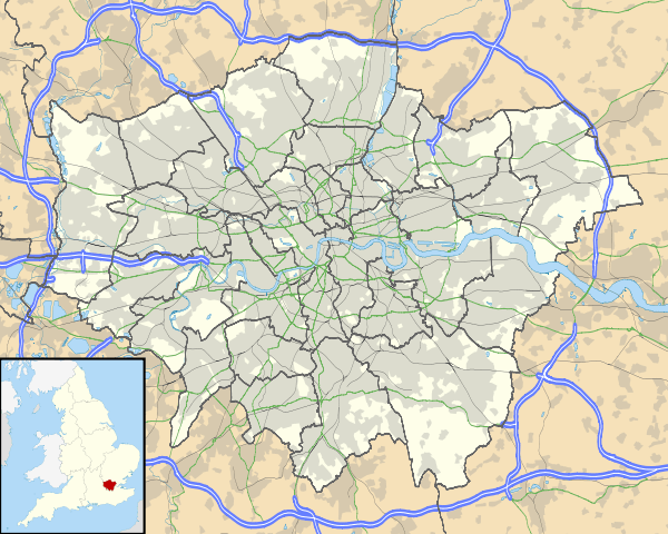
Chase Cross is a district of the London Borough of Havering in London, England.Chase Cross lies 0.8 miles (1.2 km) East of Collier Row and just under 2 miles North of Romford. The name is thought to come from its position as a crossroads in the chase (hunting ground) or Hainault Forest.[1] The forest was cleared for agriculture in the 1850s, before being developed for housing in the 1930s.[2]
Transport
The B175 is the main road through Chase Cross between Passingford Bridge and the A12 in Romford.The A12 (Eastern Avenue) which runs 1 mile south of Collier Row at its southern end, leads to London and the east coast of Essex and East Anglia,and crosses the M25 on its eastern section.The area is not connected to the London Underground or National Rail networks, however Hainault tube station, Newbury Park tube station (Central line) and Romford railway station are nearby. Transport for London bus routes 103, 499, 651, 375 and commercial route 575 from Epping to Romford and Lakeside serve Chase Cross.
Nearby places
References
| Districts |
|  |
|---|---|---|
| Attractions | ||
| Major retail | ||
| Places of worship | ||
| Parks and open spaces | ||
| Constituencies | ||
| Tube and rail stations | ||
| Other topics | ||