Charltons
| Charltons | |
 Charltons |
|
| OS grid reference | NZ6415 |
|---|---|
| District | Redcar and Cleveland |
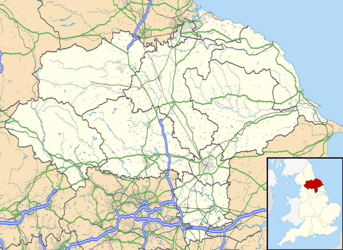
| Shire county | North Yorkshire |
| Region | North East |
| Country | England |
| Sovereign state | United Kingdom |
| EU Parliament | North East England |
Coordinates: 54°31′48″N 0°59′49″W / 54.530°N 0.997°W
Charltons is a village in the borough of Redcar and Cleveland and the ceremonial county of North Yorkshire, England.[1][2]
References
- ↑ Ordnance Survey: Landranger map sheet 94 Whitby & Esk Dale (Robin Hood’s Bay) (Map). Ordnance Survey. 2012. ISBN 9780319228999.
- ↑ "Ordnance Survey: 1:50,000 Scale Gazetteer" (csv (download)). www.ordnancesurvey.co.uk. Ordnance Survey. 1 January 2016. Retrieved 30 January 2016.
External links
![]() Media related to Charltons at Wikimedia Commons
Media related to Charltons at Wikimedia Commons
This article is issued from Wikipedia - version of the 2/17/2016. The text is available under the Creative Commons Attribution/Share Alike but additional terms may apply for the media files.