Cerro Pedernal
| Cerro Pedernal | |
|---|---|
 Pedernal viewed from Ghost Ranch | |
| Highest point | |
| Elevation | 9,866 ft (3,007 m) NAVD 88[1] |
| Prominence | 1,362 ft (415 m) [2] |
| Coordinates | 36°09′48″N 106°30′14″W / 36.16323126°N 106.50380896°WCoordinates: 36°09′48″N 106°30′14″W / 36.16323126°N 106.50380896°W [1] |
| Geography | |
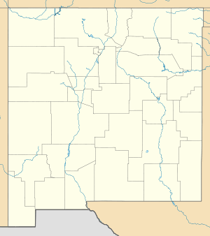 Cerro Pedernal Location in New Mexico | |
| Location | Rio Arriba County, New Mexico, U.S. |
| Parent range | Jemez Mountains |
| Topo map | USGS Youngsville |
Cerro Pedernal, locally known as just "Pedernal", is a narrow mesa in northern New Mexico. The name is Spanish for "flint hill". The mesa lies on the north flank of the Jemez Mountains, south of Abiquiu Lake, in the Coyote Ranger District of the Santa Fe National Forest. Its caprock was produced in the Jemez Volcanic Field. Its highest point is 9,862 feet (3,006 meters).
Pedernal is the source of a chert used by the prehistoric Gallina people. Its cliffs are popular with rock climbers. Georgia O'Keeffe made many paintings of it, and her ashes were scattered on its top.[3]
 From near Coyote, New Mexico, in summer monsoon weather |
 From Youngsville, New Mexico, also in monsoon weather |
References
- 1 2 "Dernal". NGS data sheet. U.S. National Geodetic Survey. Retrieved 2014-02-15.
- ↑ "Cerro Pedernal, New Mexico". Peakbagger.com. Retrieved 2014-02-15.
- ↑ Gómez, Art (2004). New Mexico: Images of a Land and its People. UNM Press. p. 61. ISBN 0-8263-3257-9. Retrieved 2011-08-06.
External links
| Look up cerro or pedernal in Wiktionary, the free dictionary. |
| Wikimedia Commons has media related to Cerro Pedernal. |
- Cerro Pedernal review with photos. Climb.Mountains.com.
- Cerro Pedernal. New Mexico Bureau of Geology and Mineral Resources.
- "Cerro Pedernal". SummitPost.org.

View from summit in winter, looking north. Abiquiu Lake in foreground; Tusas Mountains on horizon.
This article is issued from Wikipedia - version of the 10/10/2016. The text is available under the Creative Commons Attribution/Share Alike but additional terms may apply for the media files.