Carhess Creek
| Carhess Creek | |
| River | |
| Country | Canada |
|---|---|
| Province | Ontario |
| Region | Northeastern Ontario |
| District | Sudbury |
| Part of | Great Lakes Basin |
| Tributaries | |
| - left | Depot Creek |
| Source | Ferguson Lake |
| - location | Hess Township, Sudbury District |
| - elevation | 428 m (1,404 ft) |
| - coordinates | 46°43′46″N 81°30′29″W / 46.72944°N 81.50806°W |
| Mouth | Onaping River |
| - location | Levack Township, Greater Sudbury |
| - elevation | 353 m (1,158 ft) |
| - coordinates | 46°42′45″N 81°24′48″W / 46.71250°N 81.41333°WCoordinates: 46°42′45″N 81°24′48″W / 46.71250°N 81.41333°W |
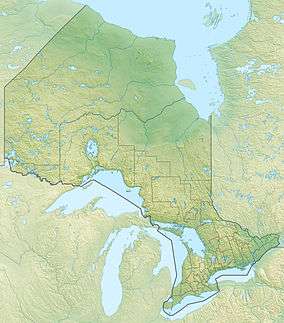 Location of the mouth of Carhess Creek in Ontario
| |
Carhess Creek is a river in Greater Sudbury and Sudbury District in Northeastern Ontario, Canada.[1] It is in the Great Lakes Basin and is a right tributary of the Onaping River. The name is a portmanteau of the names of two geographic townships through which it flows, Hess Township and Cartier Township.
The creek begins at Ferguson Lake in geographic Hess Township,[2] Sudbury District, and flows south through Green Lake into geographic Cartier Township.[3] It turns east, takes in the left tributary Depot Creek, passes into the northwest corner of geographic Levack Township,[4] Greater Sudbury, flows over a series of rapids, heads around both sides of a small hill, and reaches its mouth at the Onaping River, upstream of the community of Levack. The Onaping River flows via the Vermilion River and the Spanish River to Lake Huron.
Tributaries
- Depot Creek (left)
References
- ↑ "Carhess Creek". Geographical Names Data Base. Natural Resources Canada. Retrieved 2014-09-01.
- ↑ "Hess" (PDF). Geology Ontario - Historic Claim Maps. Ontario Ministry of Northern Development, Mines and Forestry. Retrieved 2014-09-01.
- ↑ "Cartier" (PDF). Geology Ontario - Historic Claim Maps. Ontario Ministry of Northern Development, Mines and Forestry. Retrieved 2014-09-01.
- ↑ "Levack" (PDF). Geology Ontario - Historic Claim Maps. Ontario Ministry of Northern Development, Mines and Forestry. Retrieved 2014-09-01.
Other map sources:
- Map 6 (PDF) (Map). 1 : 700,000. Official road map of Ontario. Ministry of Transportation of Ontario. 2014. Retrieved 2014-09-01.
- Restructured municipalities - Ontario map #4 (Map). Restructuring Maps of Ontario. Ontario Ministry of Municipal Affairs and Housing. 2006. Retrieved 2014-09-01.