Cape Brewster
| Cape Brewster | |
|---|---|
| Kangikajik | |
 | |
| Location | Sermersooq, Greenland |
| Coordinates | 70°9′N 22°3′W / 70.150°N 22.050°WCoordinates: 70°9′N 22°3′W / 70.150°N 22.050°W |
| Offshore water bodies | Greenland Sea |
| Elevation | 1200 |
| Area | Arctic |
Cape Brewster (Danish: Kap Brewster; Greenlandic: Kangikajik, meaning 'the bad cape') is a headland in the Greenland Sea, east Greenland, Sermersooq municipality.
Geography
Cape Brewster is the easternmost point of the jagged and mountainous Savoia Peninsula and the northernmost point of the Blosseville Coast.[1]
It is located at the end of the southern side of the mouth of the Scoresby Sound, opposite Cape Tobin (Uunarteq).[2] The cape lies in the desolate and impressive area of the southern shore of the sound with steep dark basalt walls rising between 1,000 and 2,000 m (3,280-6,560 ft).[3]
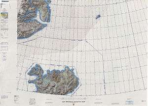 Map of NE Greenland and Iceland. |
See also
References
- ↑ Prostar Sailing Directions 2005 Greenland and Iceland Enroute, p. 111
- ↑ Kap Tobin
- ↑ Kap Brewster
External links
This article is issued from Wikipedia - version of the 10/28/2016. The text is available under the Creative Commons Attribution/Share Alike but additional terms may apply for the media files.