Canterbury, Delaware
| Canterbury, Delaware | |
|---|---|
| Unincorporated community | |
 Canterbury  Canterbury | |
| Coordinates: 39°2′33″N 75°33′20″W / 39.04250°N 75.55556°WCoordinates: 39°2′33″N 75°33′20″W / 39.04250°N 75.55556°W | |
| Country | United States |
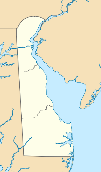
| State | Delaware |
| County | Kent |
| Elevation | 56 ft (17 m) |
| Time zone | Eastern (EST) (UTC-5) |
| • Summer (DST) | EDT (UTC-4) |
| Area code(s) | 302 |
| GNIS feature ID | 216055[1] |
Canterbury is an unincorporated community in Kent County, Delaware, United States. Canterbury is located at the intersection of U.S. Route 13 and Delaware Route 15 south of Woodside, north of Felton, and east of Viola.[2]
References
- ↑ "Canterbury". Geographic Names Information System. United States Geological Survey.
- ↑ Delaware Department of Transportation (2008). Delaware Official Transportation Map (PDF) (Map). Dover: Delaware Department of Transportation.
Municipalities and communities of Kent County, Delaware, United States | ||
|---|---|---|
| Cities | ||
| Towns | ||
| CDPs | ||
| Unincorporated communities |
| |
| Hundreds | ||
| Footnotes | ‡This populated place also has portions in an adjacent county or counties | |
This article is issued from Wikipedia - version of the 7/31/2016. The text is available under the Creative Commons Attribution/Share Alike but additional terms may apply for the media files.