Cañal Bajo Carlos Hott Siebert Airport
| Cañal Bajo Carlos Hott Siebert Airport Aeródromo Cañal Bajo Carlos Hott Siebert | |||||||||||
|---|---|---|---|---|---|---|---|---|---|---|---|
| IATA: ZOS – ICAO: SCJO | |||||||||||
| Summary | |||||||||||
| Airport type | Public | ||||||||||
| Serves | Osorno, Chile | ||||||||||
| Elevation AMSL | 57 m / 187 ft | ||||||||||
| Coordinates | 40°36′41″S 73°03′38″W / 40.61139°S 73.06056°WCoordinates: 40°36′41″S 73°03′38″W / 40.61139°S 73.06056°W | ||||||||||
| Map | |||||||||||
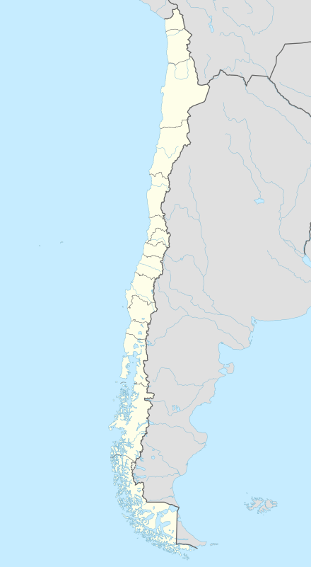 ZOS Location of airport in Chile | |||||||||||
| Runways | |||||||||||
| |||||||||||
Cañal Bajo Carlos Hott Siebert Airport (Spanish: Aeródromo Cañal Bajo Carlos Hott Siebert) (IATA: ZOS, ICAO: SCJO) is an airport located 7 kilometres (4.3 mi) east of Osorno, a city in the Los Lagos Region of Chile.[1]
Airlines and destinations
| Airlines | Destinations |
|---|---|
| LATAM Chile | Santiago de Chile, Valdivia |
| Sky Airline | Concepción, Puerto Montt, Santiago de Chile, Temuco, Valdivia |
References
- 1 2 AIP Chile: OSORNO - Cañal Bajo Carlos Hott Siebert (SCJO)
- ↑ Airport information for SCJO at World Aero Data. Data current as of October 2006.Source: DAFIF.
- ↑ Airport information for ZOS at Great Circle Mapper. Source: DAFIF (effective October 2006).
External links
- Aeródromo Cañal Bajo Carlos Hott Siebert (SCJO) at Aerodromo.cl
- Current weather for SCJO at NOAA/NWS
- Accident history for ZOS at Aviation Safety Network
This article is issued from Wikipedia - version of the 11/27/2016. The text is available under the Creative Commons Attribution/Share Alike but additional terms may apply for the media files.