Campo de Mayo Airport
| Campo de Mayo Airport | |||||||||||
|---|---|---|---|---|---|---|---|---|---|---|---|
| IATA: none – ICAO: SADO | |||||||||||
| Summary | |||||||||||
| Airport type | Military | ||||||||||
| Serves | San Miguel | ||||||||||
| Location | Argentina | ||||||||||
| Elevation AMSL | 79 ft / 24 m | ||||||||||
| Coordinates | 34°32′3.6″S 58°40′19.0″W / 34.534333°S 58.671944°WCoordinates: 34°32′3.6″S 58°40′19.0″W / 34.534333°S 58.671944°W | ||||||||||
| Map | |||||||||||
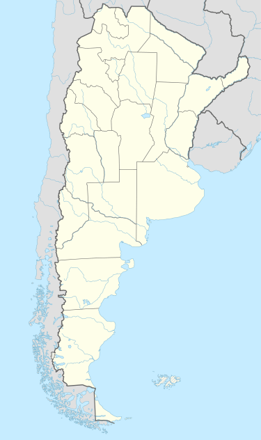 SADO Location of Campo de Mayo Airport in Argentina | |||||||||||
| Runways | |||||||||||
| |||||||||||
| Helipads | |||||||||||
| |||||||||||
Campo de Mayo Airport (ICAO: SADO) is a military airport located near San Miguel, Buenos Aires, Argentina.
See also
References
- ↑ Airport record for Campo de Mayo Airport at Landings.com. Retrieved 6 August 2013
- ↑ Google (6 August 2013). "location of Campo de Mayo Airport" (Map). Google Maps. Google. Retrieved 6 August 2013.
External links
- Airport record for Campo de Mayo Airport at Landings.com
This article is issued from Wikipedia - version of the 11/8/2016. The text is available under the Creative Commons Attribution/Share Alike but additional terms may apply for the media files.