Campground Historic District
"The Campground" redirects here. For a place used for overnight stay in the outdoors, see Campground.
|
Campground Historic District | |
|
A pair of shotgun houses on North Ann Street, both built in 1925 | |
  | |
| Location | Mobile, Alabama |
|---|---|
| Coordinates | 30°41′48.33″N 88°3′59.51″W / 30.6967583°N 88.0665306°WCoordinates: 30°41′48.33″N 88°3′59.51″W / 30.6967583°N 88.0665306°W |
| Area | 37 acres (15 ha) |
| Architectural style | Queen Anne, Classical Revival |
| NRHP Reference # | 05000648[1] |
| Added to NRHP | July 7, 2005 |
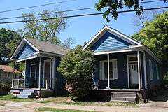
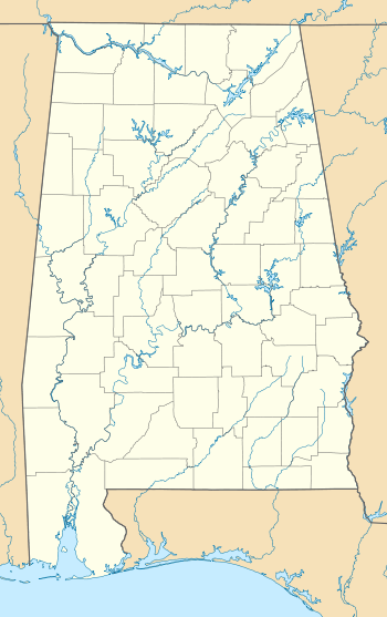
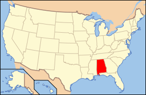
The Campground Historic District is a historic district in the city of Mobile, Alabama, United States. Named for the Old Camp Ground, a military encampment that occupied the property during the American Civil War, this historically African American neighborhood was placed on the National Register of Historic Places on July 7, 2005.[1] It is roughly bounded by Martin Luther King Jr. Avenue, Rylands Street, St. Stephens Road, and Ann Street. The district covers 370 acres (1.5 km2) and contains 166 contributing buildings. The houses range from shotgun houses to bungalows and date from the late 19th century to the middle 20th century.[2]
References
- 1 2 National Park Service (2010-07-09). "National Register Information System". National Register of Historic Places. National Park Service.
- ↑ Wilson, Shaun (November 1, 2004). "Campground Historic District" (PDF). National Register of Historic Places Registration Form. National Park Service. Archived (PDF) from the original on March 16, 2014. Retrieved March 16, 2014. See also: "Accompanying photos" (PDF). Archived (PDF) from the original on March 16, 2014. Retrieved March 16, 2014.


This article is issued from Wikipedia - version of the 11/26/2016. The text is available under the Creative Commons Attribution/Share Alike but additional terms may apply for the media files.