Camas County Highpoint
| Camas County Highpoint | |
|---|---|
| Highest point | |
| Elevation | 10,337 ft (3,151 m) [1] |
| Prominence | 240 ft (73 m) [1] |
| Coordinates | 43°48′53″N 114°43′10″W / 43.814796°N 114.719438°WCoordinates: 43°48′53″N 114°43′10″W / 43.814796°N 114.719438°W |
| Geography | |
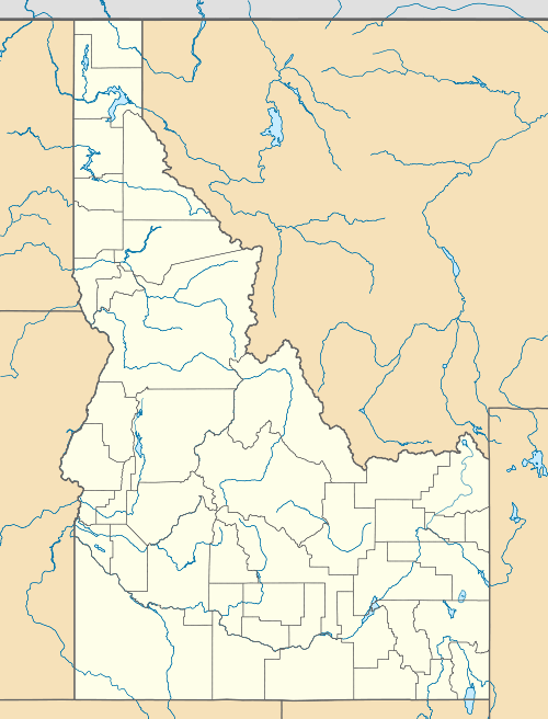
| Location | Blaine and Camas counties, Idaho, U.S. |
| Parent range | Smoky Mountains |
| Topo map | USGS Galena |
| Climbing | |
| Easiest route | Simple scramble, class 2 |
Camas County Highpoint, at 10,337 feet (3,151 m) above sea level is the second highest peak in the Smoky Mountains of Idaho and the highest point in Camas County. Located on the border of Blaine and Camas counties, Camas County Highpoint is about 0.6 miles (970 m) south-southwest of the range's highest point, Saviers Peak. The peak is also on the border of Sawtooth National Recreation Area and the Fairfield Ranger District of Sawtooth National Forest.[2][3]
References
- 1 2 "Camas County Highpoint, Idaho". Peakbagger.com. Retrieved December 19, 2012.
- ↑ Sawtooth National Forest (Map) (1998 ed.). Sawtooth National Forest, U.S. Forest Service.
- ↑ "Camas County Highpoint". Idaho Summits. Retrieved December 19, 2012.
This article is issued from Wikipedia - version of the 12/21/2015. The text is available under the Creative Commons Attribution/Share Alike but additional terms may apply for the media files.