Cabin John-Brookmont, Maryland
| Cabin John-Brookmont | |
|---|---|
| Former CDP | |
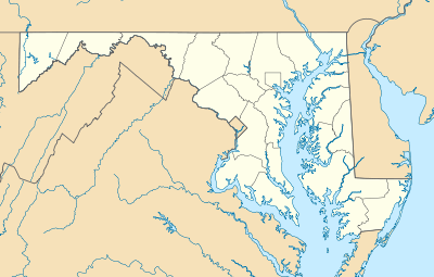 Cabin John-Brookmont  Cabin John-Brookmont Location within the state of Maryland | |
| Coordinates: 38°58′02″N 77°08′51″W / 38.96722°N 77.14750°WCoordinates: 38°58′02″N 77°08′51″W / 38.96722°N 77.14750°W | |
| Country | United States |
| State | Maryland |
| Counties | Montgomery |
| Area | |
| • Land | 2.6 sq mi (6.8 km2) |
| • Water | 1.0 sq mi (2.5 km2) |
| Elevation | 36 ft (11 m) |
| Population (1990) | |
| • Total | 5,341 |
| Time zone | Eastern (EST) (UTC-5) |
| • Summer (DST) | EDT (UTC-4) |
| ZIP codes | 20816, 20818 |
| Area code(s) | 240 & 301 |
| FIPS code | 24-12087[1] |
Cabin John-Brookmont was a census-designated place in Montgomery County, Maryland (adjacent to Washington, D.C.) during the 1980 and 1990 censuses, which included the primary communities of Cabin John and Brookmont. The population recorded in 1990 was 5,341 and consisted of 2,168 housing units.[2] The census area disbanded to form Cabin John and Brookmont in 2000.[3] The ZIP codes serving the area are 20816 and 20618.
Geography
| Historical population | |||
|---|---|---|---|
| Census | Pop. | %± | |
| 1980 | 5,135 | — | |
| 1990 | 5,341 | 4.0% | |
| source:[4][5] | |||
Located at 38.96737 north and 77.14763 west,[6] the census area of Cabin John-Brookmont was bounded by the census areas of Potomac to the northwest, McLean (the Potomac River) to the south and Bethesda to the northeast.[7] The land area of the CDP was 2.7 square miles.[8]
References
- ↑ Cabin John-Brookmont, Maryland. Roadside Thoughts. Retrieved 2013-09-18.
- ↑ Cabin John-Brookmont U.S. Gazetteer from 1990. Retrieved 2013-09-18.
- ↑ Population and housing unit counts for Maryland in 2000. United States Census Bureau. 2003. Retrieved 2013-09-18.
- ↑ "CENSUS OF POPULATION AND HOUSING (1790-2000)". U.S. Census Bureau. Retrieved 2010-07-17.
- ↑ Census area disbanded in 2000.
- ↑ "US Gazetteer files: 2010, 2000, and 1990". United States Census Bureau. 2011-02-12. Retrieved 2011-04-23.
- ↑ 1990 census TIGER map of Washington, D.C. in vicinity. United States Census Bureau. Retrieved 2013-09-18.
- ↑ Maryland - Census Bureau. Retrieved 2013-09-18.
This article is issued from Wikipedia - version of the 10/29/2016. The text is available under the Creative Commons Attribution/Share Alike but additional terms may apply for the media files.