CFS Barrington
| CFS Barrington | |
|---|---|
|
Canadian Coastal Radar | |
| Coordinates | 43°27′06″N 065°28′17″W / 43.45167°N 65.47139°W |
| Type | Radar Station |
| Site information | |
| Controlled by |
|
| Site history | |
| Built | 1957 |
| In use | 1957-1990 |

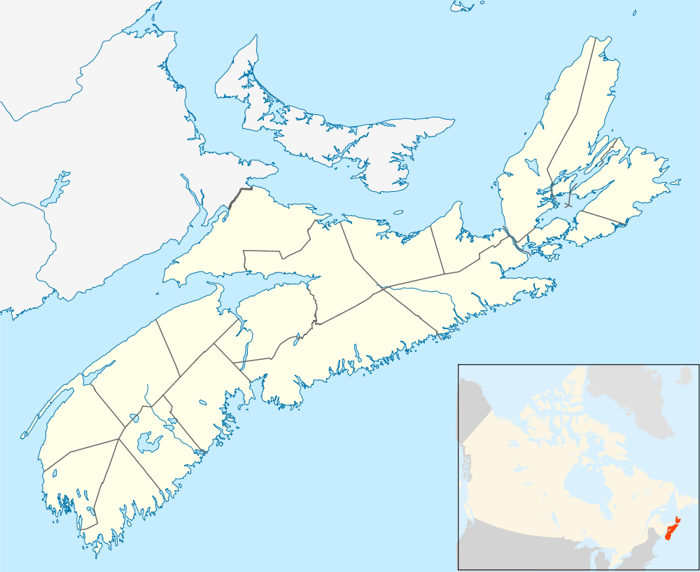

Canadian Forces Station Barrington, also referred to as CFS Barrington, was a Canadian Forces Station located in the unincorporated community of Baccaro, Nova Scotia at Baccaro Point near the southwestern-most point of the province.
History
In 1943 the Royal Canadian Navy (RCN) established a LORAN site at Baccaro Point to assist in navigation for Allied naval operations on the North Atlantic. After the war, the LORAN site was operated by the Department of Transport.
In the early years of the Cold War, the RCN sought to establish a radar site on the Atlantic coast of Nova Scotia; a number of sites were considered, including remote Sable Island which was ultimately rejected by 1953 due to logistical problems. The Baccaro Point site was selected as it was near the southwestern-most point of Nova Scotia at Cape Sable Island and would provide maximum coverage area.
By that time, the Pinetree Line early warning radar network was being proposed by the United States Air Force (USAF) and Royal Canadian Air Force (RCAF). Construction of a Pinetree Line of Ground-Control Intercept (GCI) radar site began at Baccaro Point in 1955 and was completed in 1957. The facility was operated by the USAF as Barrington Air Station by the 672d Aircraft Control and Warning Squadron. Radars at the station were:
As a GCI base, the 672d's role was to guide interceptor aircraft toward unidentified intruders picked up on the unit's radar scopes. These interceptors were based at the 26th NORAD Region bases at Loring AFB and Dow AFB, Maine.
In the early 1960s, the USAF relinquished control of the base to the Royal Canadian Air Force (RCAF). This was part of an arrangement with the United States that came as a result of the cancellation of the Avro Arrow. Canada would lease 66 F-101 Voodoo fighters and take over operation of 12 Pinetree radar bases.
Upon hand-over on 1 June 1962, the operating unit was re-designated 23 Aircraft Control & Warning Squadron and the base became RCAF Station Barrington. Radar operations at 23 Squadron were automated on 1 July 1964 by the Semi Automatic Ground Environment (SAGE) system, and the station became a long-range radar site. It would no longer guide interceptors but only look for enemy aircraft, feeding data to the Boston Air Defense Sector SAGE DC-02 Direction Center of the 26th NORAD Region.
The facility was renamed CFS Barrington with the unification of the Canadian Forces on February 1, 1968, and the newly established 213 Radar Squadron reported to the 21st NORAD Region SAGE DC-03 Direction Center at Syracuse AFS.
In 1971 the Canadian Forces constructed a mobile home subdivision on Sherose Island 27 km west of the station for housing personnel and their families. Beginning in 1983, CFS Barrington began reporting to Canada East ROCC at CFB North Bay.
The long range early warning radar became obsolete by the late 1980s and the facility was decommissioned on August 1, 1990. The Baccaro Point site currently hosts a remotely operated Canadian Coastal Radar transmitter/receiver facility.
See also
- List of Royal Canadian Air Force stations
- List of USAF Aerospace Defense Command General Surveillance Radar Stations
References
![]() This article incorporates public domain material from the Air Force Historical Research Agency website http://www.afhra.af.mil/.
This article incorporates public domain material from the Air Force Historical Research Agency website http://www.afhra.af.mil/.
- A Handbook of Aerospace Defense Organization 1946 - 1980, by Lloyd H. Cornett and Mildred W. Johnson, Office of History, Aerospace Defense Center, Peterson Air Force Base, Colorado
- Winkler, David F. (1997), Searching the skies: the legacy of the United States Cold War defense radar program. Prepared for United States Air Force Headquarters Air Combat Command.
- Information for Barrington AS, NS
External links
| Bases |
|  | |||||||||||||||||||||
|---|---|---|---|---|---|---|---|---|---|---|---|---|---|---|---|---|---|---|---|---|---|---|---|
| Stations |
| ||||||||||||||||||||||
| Air Defense units |
| ||||||||||||||||||||||
| Major weapon systems |
| ||||||||||||||||||||||
| Miscellaneous |
| ||||||||||||||||||||||