Burstwick
Coordinates: 53°44′04″N 0°08′28″W / 53.734309°N 0.141121°W
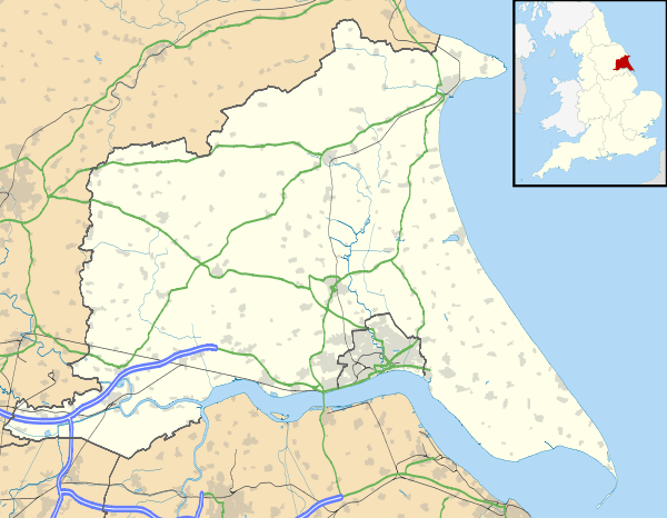
Burstwick is a village and civil parish in the Holderness region of the East Riding of Yorkshire, England. It is situated about 8 miles (13 km) east of Hull city centre. It lies on the B1362 road.
Community

Burstwick is a few miles from the local market town of Hedon and the villages of Keyingham and Thorngumbald.
According to the 2011 UK census, Burstwick parish had a population of 1,924,[1] an increase on the 2001 UK census figure of 1,813.[2]
Burstwick was served from 1854 to 1964 by Burstwick railway station on the Hull and Holderness Railway.[3]
Some low-lying parts of Burstwick were affected by the June 2007 floods which hit most of the country. Several properties were vacated while repair work took place.
Burstwick's church is All Saints', which was designated a Grade I listed building in 1966 and is now recorded in the National Heritage List for England, maintained by Historic England.[4] There is also a Methodist church.
Amenities
Burstwick contains a public house, the Hare and Hounds, a village shop and post office, and a fish and chip shop, all situated on the main street. Village businesses and services include a petrol station and car garage. An 18-hole golf course is 1 mile (1.6 km) away.
The local primary school is Burstwick Community Primary School.
References
- 1 2 "Key Figures for 2011 Census: Key Statistics: Area: Burstwick CP (Parish)". Neighbourhood Statistics. Office for National Statistics. Retrieved 3 February 2013.
- ↑ "2001 Census: Key Statistics: Parish Headcounts: Area: Burstwick CP (Parish)". Neighbourhood Statistics. Office for National Statistics. Retrieved 15 May 2008.
- ↑ Butt, R. V. J. (1995). The Directory of Railway Stations: details every public and private passenger station, halt, platform and stopping place, past and present (1st ed.). Sparkford: Patrick Stephens Ltd. ISBN 1-8526-0508-1. OCLC 60251199.
- ↑ Historic England. "Church of All Saints (1366240)". National Heritage List for England. Retrieved 13 August 2013.
- Gazetteer — A–Z of Towns Villages and Hamlets. East Riding of Yorkshire Council. 2006. p. 4.
External links
 Media related to Burstwick at Wikimedia Commons
- Burstwick in the Domesday Book
- Burstwick Parish Council
- Burstwick United - A recent addition to the community after recent events which led to flooding.