Bruray
| Norse name | Bruray |
|---|---|
| Location | |
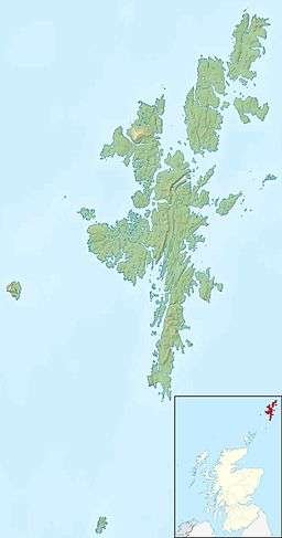 Bruray Bruray shown within Shetland | |
| OS grid reference | HU689720 |
| Physical geography | |
| Island group | Shetland |
| Area | 55 hectares (0.21 sq mi) |
| Area rank | 189= [1] |
| Highest elevation | 53 metres (174 ft) |
| Administration | |
| Sovereign state | United Kingdom |
| Country | Scotland |
| Council area | Shetland Islands |
| Demographics | |
| Population | 24 |
| Population rank | 63[2] [1] |
| Pop. density | 44 people/km2[2][3] |
| References | [3][4] |

Bruray is one of the three Out Skerries islands of Shetland, and contains Scotland's most easterly settlement.
It is separated from Housay by North Mouth and South Mouth.
Infrastructure
The Skerries Bridge was built in 1957 to provide a fixed link from Bruray to the neighbouring and larger island of Housay
Bruray is home to Scotland's smallest school.
The island occasionally suffers from water shortages. There is little peat on the Out Skerries, so the residents have been granted rights to cut in on Whalsay.[3]
A ferry connects the Out Skerries with Vidlin and Lerwick on the Shetland Mainland, as well as flights from Tingwall by Loganair.
History
At the autumn 2010, the islands of Housay and Bruray were on sale for £250,000. "The main islands are held under crofting tenure. The crofting community have been offered the opportunity to register their interest in acquiring the property but have formally declined from doing so."[5]
See also
References
- 1 2 Area and population ranks: there are c. 300 islands over 20 ha in extent and 93 permanently inhabited islands were listed in the 2011 census.
- 1 2 National Records of Scotland (15 August 2013) (pdf) Statistical Bulletin: 2011 Census: First Results on Population and Household Estimates for Scotland - Release 1C (Part Two). "Appendix 2: Population and households on Scotland’s inhabited islands". Retrieved 17 August 2013.
- 1 2 3 Haswell-Smith, Hamish (2004). The Scottish Islands. Edinburgh: Canongate. ISBN 978-1-84195-454-7.
- ↑ Ordnance Survey. Get-a-map (Map). 1:25,000. Leisure. Ordinance Survey. Retrieved 21 August 2013.
- ↑ Out Skerries, Shetland Archived July 16, 2011, at the Wayback Machine.. Homesandproperty.co.uk.
External links
Coordinates: 60°25′33″N 0°45′02″W / 60.42597°N 0.75043°W