Brandesburton
| Brandesburton | |
 Brandesburton |
|
| Population | 1,522 (2011 census)[1] |
|---|---|
| OS grid reference | TA117474 |
| – London | 165 mi (266 km) S |
| Civil parish | Brandesburton |
| Unitary authority | East Riding of Yorkshire |
| Ceremonial county | East Riding of Yorkshire |
| Region | Yorkshire and the Humber |
| Country | England |
| Sovereign state | United Kingdom |
| Post town | DRIFFIELD |
| Postcode district | YO25 |
| Dialling code | 01964 |
| Police | Humberside |
| Fire | Humberside |
| Ambulance | Yorkshire |
| EU Parliament | Yorkshire and the Humber |
| UK Parliament | East Yorkshire[2] |
Coordinates: 53°54′40″N 0°18′02″W / 53.911166°N 0.300644°W
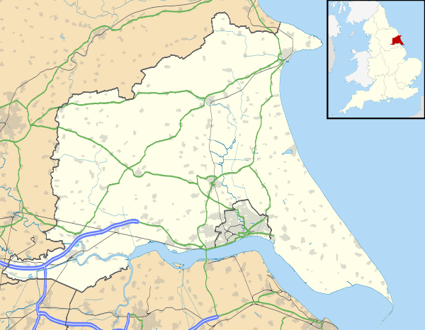
Brandesburton is a village and civil parish in the East Riding of Yorkshire, England. It is situated approximately 7 miles (11 km) west of Hornsea and 9 miles (14 km) north-east of the market town of Beverley.
The civil parish is formed by the village of Brandesburton and the hamlets of Burshill and Hempholme. According to the 2011 UK census, Brandesburton parish had a population of 1,522,[1] an increase on the 2001 UK census figure of 1,348.[3]
St Mary's Church, which is surrounded by its churchyard in the north-east corner of the village, is a large, medieval building, with tower, nave, aisles and chancel. It was largely built out of cobbles, but has an early brick clerestory and later south porch. Exhibiting some fragments of Norman work (including a priest's door), it principally dates from the 13th to the 15th centuries, and was restored in 1892. Inside are two noteworthy brasses: on the south side of the chancel the fragments of a (rare) bracket-brass, and on the north side more substantial, full-size brasses to John St Quintin, a former Lord of the Manor, and his wife. The church has been designated a Grade I listed building.[4][5]
On the village green is a Grade II listed market cross.[6]

Brandesburton amenities include the Billabong Jet Ski centre which operates throughout the year, the Hainsworth Park Golf Club, The Burton Lodge Hotel, the Black Swan and Dacre Arms pubs, and The Dacre Lakeside camping and Caravan Park.
The village is situated off the A165 which used to pass through the village until the opening of a bypass of it, and neighbouring village Leven, in 1994.[7] A railway station was proposed in 1901 as part of the North Holderness Light Railway between Beverley and North Frodingham, but the line was never built.[8]
Remains of mammoths and prehistoric elephant tusks have been discovered near the village.[9]
From the 1930s and into the Second World War RAF Catfoss was located just to the north-east of the village.
Governance
The civil parish was in the Beverley and Holderness parliamentary constituency until the 2010 general election when it was transferred to the constituency of East Yorkshire.[2]
References
- 1 2 "Key Figures for 2011 Census: Key Statistics: Area: Brandesburton CP (Parish)". Neighbourhood Statistics. Office for National Statistics. Retrieved 3 February 2013.
- 1 2 "Are you ready to vote in the next election?". East Riding News. East Riding of Yorkshire Council: p. 3. April 2010.
- ↑ "2001 Census: Key Statistics: Parish Headcounts: Area: Brandesburton CP (Parish)". Neighbourhood Statistics. Office for National Statistics. Retrieved 14 May 2008.
- ↑ Historic England. "Church of St Mary, Brandesburton (1263780)". National Heritage List for England. Retrieved 17 April 2012.
- ↑ Pevsner, Nikolaus; The Buildings of England. Yorkshire: York and the East Riding p. 195; Penguin (1972); reprinted 1975, Pevsner Architectural Guides. ISBN 0140710434
- ↑ Historic England. "Market Cross (1249470)". National Heritage List for England. Retrieved 3 February 2014.
- ↑ Allison, K J; Baggs, A P; Cooper, T N; Davidson-Cragoe, C; Walker, J (2002). Kent, G H R, ed. "North division: Leven". A History of the County of York East Riding: Volume 7: Holderness Wapentake, Middle and North Divisions. Institute of Historical Research. Retrieved 3 February 2014.
- ↑ "A Guide to the Driffield Navigation (1983) - A Brief History". Driffield Navigation Guide. 16 February 2006. Retrieved 8 February 2008.
- ↑ "BRANDESBURTON:". GENUKI. Retrieved 2 December 2015.
- Gazetteer — A–Z of Towns Villages and Hamlets. East Riding of Yorkshire Council. 2006. p. 4.
External links
 Media related to Brandesburton at Wikimedia Commons
- Historic England. "St Mary's Church (431476)". Images of England.
- Brandesburton Village Website
- Brandesburton in the Domesday Book