Bourne Brook
For other uses, see Bourne Brook (disambiguation).
| Bourne Brook | |
 Bourne Brook near Hints | |
| Country | England |
|---|---|
| Counties | Staffordshire |
| District | Lichfield District |
| Town | Fazeley |
| Villages | Shenstone, Weeford, Hints |
| Source | |
| - location | Aldridge, Staffordshire |
| Mouth | |
| - location | Fazeley, Staffordshire |
| - coordinates | 52°36′44″N 1°41′32″W / 52.6123°N 1.6921°WCoordinates: 52°36′44″N 1°41′32″W / 52.6123°N 1.6921°W |
| Length | 14 km (9 mi) [1] |
| Basin | 35 km2 (14 sq mi) [1] |
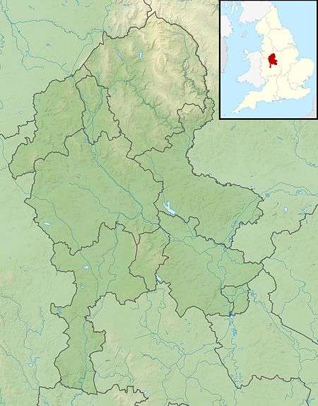 Confluence with the River Tame shown in Staffordshire
| |
| Wikimedia Commons: Bourne Brook | |
| Progression : Bourne Brook—Tame—Trent—Humber | |
The Bourne Brook or Black Brook, as it is known in its upper reaches, is a tributary of the River Tame in Staffordshire, England.[2]
Course
From its source near Aldridge (originally in Staffordshire, but now in the West Midlands county), where it is known as the Black Brook, it flows north, to the west and north of the village of Shenstone, then flows east past Weeford and Hints where the name changes to the Bourne Brook. It then continues through the grounds of Drayton Manor Theme Park and then to its confluence with the River Tame near Fazeley.[2]
Its waters ultimately flow, via the Humber estuary, into the North Sea.
References
- 1 2 "Water Framework Directive Surface Water Classification Status and Objectives 2012 csv files". Environment-agency.gov.uk. Retrieved 20 April 2013.
- 1 2 "Get-a-map online". Ordnance Survey. Retrieved 26 March 2013.
This article is issued from Wikipedia - version of the 11/30/2016. The text is available under the Creative Commons Attribution/Share Alike but additional terms may apply for the media files.