Boniyar
-- See Wikipedia:WikiProject Indian cities for details -->
| Boniyar | |
|---|---|
| town | |
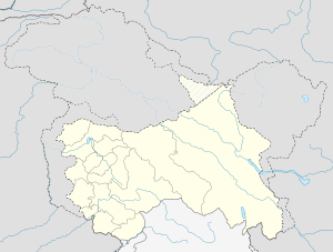 Boniyar  Boniyar Location in Jammu and Kashmir, India | |
| Coordinates: 33°48′N 75°06′E / 33.80°N 75.10°ECoordinates: 33°48′N 75°06′E / 33.80°N 75.10°E | |
| Country |
|
| State | Jammu and Kashmir |
| District | Baramulla |
| Elevation | 1,577 m (5,174 ft) |
| Population (2011) | |
| • Total | 72,564 |
| Languages | |
| • Official | Urdu Kashmiri |
| Time zone | IST (UTC+5:30) |
| Vehicle registration | JK05 |
| Website |
baramulla |
Boniyar is a town and a municipal committee in tehsil Boniyar, Baramulla district in India's northernmost state of Jammu and Kashmir. It is located 20 km towards west from district headquarters Baramulla. Boniyar was given tehsil status in 2006. Prominent villages in tehsil Boniyar are Wopal Haq Marg Athishampora Bijhama, Peernia,Chandanwari and Chaela. Major site of attraction is lower jhelum hydropower project having capacity of generating 105 MW. Lachipora wildlife sanctuary has been established for conserving markhoor and other vulnerable animals.
This article is issued from Wikipedia - version of the 9/8/2016. The text is available under the Creative Commons Attribution/Share Alike but additional terms may apply for the media files.