Bog Bridge
|
Bog Bridge | |
 | |
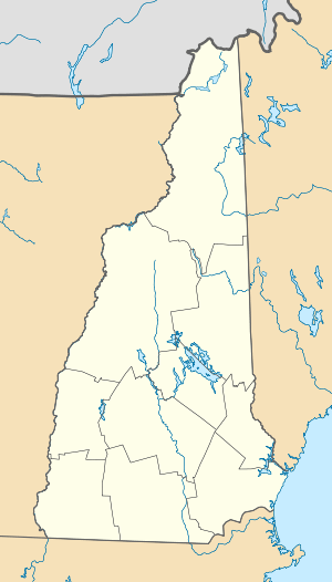  | |
| Location | Off Rt. 11 over Pleasant Brook, Andover, New Hampshire |
|---|---|
| Coordinates | 43°25′49″N 71°52′11″W / 43.43028°N 71.86972°WCoordinates: 43°25′49″N 71°52′11″W / 43.43028°N 71.86972°W |
| Area | 0.1 acres (0.040 ha) |
| Built | 1887 |
| Built by | Atwood,Prentice C. |
| Architectural style | Town through truss |
| NRHP Reference # | 89000192[1] |
| Added to NRHP | March 16, 1989 |
The Bog Bridge, also known as the Cilleyville Bridge, is a historic covered bridge in Andover, New Hampshire. The Town through truss bridge was built in 1887 by local carpenter Prentice C. Atwood. The bridge originally carried Bog Road across Pleasant Brook, but was reduced to foot traffic when the current alignment of New Hampshire Route 11 bypassed it. The bridge is 53 feet (16 m) long and 13 feet (4.0 m) wide, and is clad in vertical planking. The asphalt shingle roof, a replacement made in 1982, is the only major modification to the bridge. The bridge rests on abutments of roughly coursed granite blocks; the eastern abutment is original, without mortar, while the western abutment was damaged in the 1938 New England hurricane and rebuilt with cement mortar.[2]
The bridge was listed on the National Register of Historic Places in 1989.[1]
See also
- National Register of Historic Places listings in Merrimack County, New Hampshire
- List of bridges on the National Register of Historic Places in New Hampshire
References
- 1 2 National Park Service (2010-07-09). "National Register Information System". National Register of Historic Places. National Park Service.
- ↑ "NRHP nomination for Bog Bridge" (PDF). National Park Service. Retrieved 2014-02-23.
| Topics | 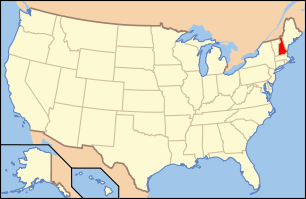 | |
|---|---|---|
| Lists by county | ||
| Other lists | ||
| ||