Voio
| Voio | |
|---|---|
| Βόιο | |
 Voio Location in Greece | |
| Highest point | |
| Elevation | 1,805 m (5,922 ft) [1] |
| Listing | List of mountains in Greece |
| Coordinates | 40°13′30″N 21°05′02″E / 40.225°N 21.084°ECoordinates: 40°13′30″N 21°05′02″E / 40.225°N 21.084°E |
| Naming | |
| Pronunciation | Greek: [ˈvoʝo] |
| Geography | |
| Location | Kastoria and Kozani regional units, Greece |
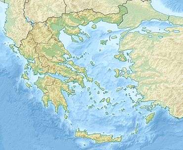
Voio (Greek: Βόιο, Vóio; Ancient Greek: Βόιον - Boeon) is a mountain range in the southwestern Kastoria and western Kozani regional units in Greece. The mountain is part of the Pindus mountains. Its highest elevation is 1,805 m.[1] It is a densely forested and sparsely populated mountain range. It is drained towards the river Sarantaporos in the west and towards the Aliakmonas in the east. The nearest mountain ranges are Gramos to the west and Smolikas to the southwest.
The nearest villages are Pentalofos in the east, Eptachori in the west and Kypseli in the north. The municipality Voio, named after the mountains, is situated in the eastern part. The Greek National Road 20 (Kozani - Konitsa - Ioannina) passes through the mountains, 2 km south of the highest point. The first home of Boeotians was in mountain Boion; the mountain gave them their name.[2]
References
- 1 2 Oreivatein.com
- ↑ Bury, John Bagnell. A History of Greece to the Death of Alexander the Great (Volume 1). ISBN 0-543-97069-8, p. 54.