Blue Creek Valley
| Blue Creek Valley | |
| Valley | |
| Country | United States |
|---|---|
| State | Utah |
| Region | (northeast)-Great Basin Desert |
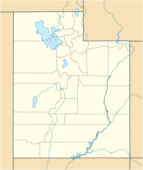
| County | Box Elder |
| Borders on | Pocatello Valley-(Idaho)-N West Hills-NE & E Blue Spring Hills-SE Promontory Mountains-S North Promontory Mountains-W (Hansel Valley & Mountains-W) North Hansel Mountains-(Idaho)-NW |
| Communities | Blue Creek, Howell |
| Reservoir | Blue Creek Reservoir |
| Spring | Blue Creek Spring |
| Coordinates | 41°51′44″N 112°27′25″W / 41.86222°N 112.45694°WCoordinates: 41°51′44″N 112°27′25″W / 41.86222°N 112.45694°W |
| Lowest point | Blue Creek Reservoir-(outfall, farmlands at south) |
| - location | Blue Creek Valley-(center-south) |
| - elevation | 4,593 ft (1,400 m) |
| - coordinates | 41°48′22″N 112°27′39″W / 41.8060°N 112.4608°W |
 | |
Blue Creek Valley is an 18-mile (29 km) long valley located in northeast Box Elder County, Utah. It is endorheic with the Blue Creek Reservoir its lowpoint located south in the valley's center.
The valley is nestled between three mountainous regions. The West Hills and Blue Spring Hills border it east and southeast. The south abuts the north of the Promontory Mountains, and the west is formed by a small north-south range, the North Promontory Mountains
The north of the valley borders the south of Idaho's Pocatello Valley.
Valley description
Because Blue Creek Valley is narrow, only 5-8 mi wide, small feeder creeks feed the region from the four cardinal directions. Blue Creek Reservoir is located in the center-south of the valley, with Blue Creek Spring located 2 mi northeast, the main feed to the reservoir.
The outlet of Blue Creek Reservoir trends south past Howell, Utah, into agricultural land. A peak associated with the north of the Promontory Mountains ends the valley's south, at the mountain range foothills. The mountain, Engineer Mountain, 5,400 feet (1,646 m),[1] and parts of the north Promontory Mountains drain north into the south border of Blue Creek Valley; southwest drainage from the mountain region drains southwest into the Bear River Bay section of the northeast Great Salt Lake.
Valley lowpoint
The lowest elevation in the valley is south of Blue Creek Reservoir, its outlet, and to the farmland around Howell, Utah. Blue Creek Reservoir is at 4,593 feet (1,400 m).

(the ridgeline terminus of the North Promontory Mountains to west, the circular mountain between the two, is Cedar Ridge)
(the brownish hills SE-(at Penrose, Utah), are the Blue Spring Hills)
References
- ↑ Utah, DeLorme Atlas & Gazetteer, p. 10-11.
External links
- Blue Creek Reservoir Fishing, fishworks.com
- valley center: Howell, UT & Blue Creek Reservoir, (topographic map, TopoQuest)
- South Valley, (topographic map, TopoQuest)