Black Ditches, Cavenham
| Site of Special Scientific Interest | |
|
Black Ditches, southern section | |
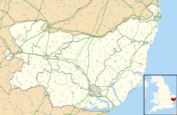 Black Ditches within Suffolk | |
| Area of Search | Suffolk |
|---|---|
| Grid reference | TL774684 |
| Coordinates | 52°17′27″N 0°35′55″E / 52.2908°N 0.5985°ECoordinates: 52°17′27″N 0°35′55″E / 52.2908°N 0.5985°E |
| Interest | Biological |
| Area | 1.7 hectares (0.02 km2; 0.01 sq mi) |
| Notification | 1959 |
| Natural England website | |

Black Ditches is an earthwork and Site of Special Scientific Interest (SSSI) close to the village of Cavenham in the English county of Suffolk. The earthwork is generally assumed to be an Anglo-Saxon boundary, dating to the 6th or 7th century.[1] Two sections of ditch remain visible, one to the north-east of the village and one to the south-east, covering a total of 4.5 miles (7.2 km).[1] Both sections are designated as a scheduled monument.[2] Only the southern section is designated as an SSSI.
History
Black Ditches are the most easterly of the five earthworks of the Wuffings kingdom that defended the ancient road of Icknield Way, the others being Devil's Dyke, Fleam Dyke, Bran Ditch and Brent Ditch.[3] It is not as well preserved as the western defences, and unlike these other earthworks, access to the Black Ditches is limited, with no public right of way.
The total length of the ditches is around 4.5 miles (7.2 km) stretching from south of Cavenham towards Icklingham, although there is no evidence of the ditch crossing the River Lark at Icklingham. The Icknield Way crosses the line of the ditch towards the central area. In this area the ditch is generally no longer visible.
The northern section of ditch remaining is around 0.65 miles (1.05 km) in length running across the eastern edge of Cavenham Heath towards the River Lark. The section is less well preserved, although up to 1.75 metres (5.7 ft) high and 8 metres (26 ft) wide in places.[1][3] This section is not designated as an SSSI although it lies on the boundary of the Breckland Farmland SSSI. This section lies entirely within the parish of Cavenham.
The southern section of the ditch is 1.25 miles (2.01 km) long, extending southwards in some form across Risby's Poor Heath.[3] This section forms the boundary of Cavenham and Lackford parishes and between Forest Heath and St Edmundsbury districts before it enters Risby parish to the south.
Plant and wildlife
The Site of Special Scientific Interest covers the southern section of ditch and is 1.7 hectares (4.2 acres) in area.[4] It is bordered on the west by the Breckland Farmland SSSI.
Black Ditches provides an example of chalk grassland on its banks.[4] A wide variety of species are present and the site is especially well preserved as it is believed that it has never been ploughed.[4] The dominant grass species are Crested Hair-grass Koeleria cristata, Timothy Grass Phleum pratense and Common Quaking-grass Briza media. Herb species include the locally rare Heath Sedge Carex ericetorum and Bastard Toadflax Comandra umbellata. Scrub has developed along the edge of the ditch where it is sheltered by woodland.[4]
See also
References
- 1 2 3 Black Ditches, English Heritage. Retrieved 2013-01-29.
- ↑ Black Ditches, List entry summary, English Heritage. Retrieved 2013-01-29.
- 1 2 3 Fox.C (1923) The archaeology of the Cambridge region: a topographical study of the Bronze, Early Iron, Roman and Anglo-Saxon Ages, with an introductory note on the Neolithic Age, pp.123-124. Cambridge: Cambridge University Press (available online).
- 1 2 3 4 Black Ditches, Cavenham, SSSI citation, Natural England. Retrieved 2013-01-29.