Black Chew Head
| Black Chew Head | |
|---|---|
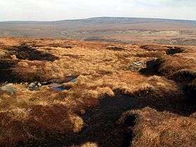 Moorland just north of Black Chew Head | |
| Highest point | |
| Elevation | 542 m (1,778 ft) [1] |
| Prominence | 35 m [1] |
| Parent peak | Black Hill |
| Listing | County top, Dewey |
| Coordinates | 53°30′57.96″N 1°55′17.76″W / 53.5161000°N 1.9216000°WCoordinates: 53°30′57.96″N 1°55′17.76″W / 53.5161000°N 1.9216000°W |
| Geography | |
 Black Chew Head Location of Black Chew Head in Greater Manchester | |
| Location | Saddleworth, Greater Manchester, England |
| Parent range | Peak District (Dark Peak) |
| OS grid | SE056019 |
Black Chew Head in Saddleworth in the Metropolitan Borough of Oldham is the highest point or county top of Greater Manchester in northern England. It stands on moorland on the edge of the Peak District at a height of 542 metres (1,778 ft) above sea level. The higher part of the Chew Valley is across the border with High Peak in Derbyshire.
Location and access
Black Chew Head is an outlying part of Black Hill, meaning Kinder Scout is its parent peak. It overlooks the Chew Valley which leads to the Dovestones Reservoir. The hill is accessible by many routes: the most used and most obvious is from Dovestones Reservoir in Greenfield via the Chew Reservoir access road. The hill is also accessible from Crowden in Derbyshire and from the A635 to the north.
References
- 1 2 Black Chew Head at www.hill-bagging.co.uk. Retrieved 11 March 2016.
External links
- Black Chew Head, England. Peakbagger.com.
- Black Chew Head. Fen Running and Fell Walking.
- Black Chew Head. My Pennines.