Birampur Upazila
| Birampur বিরামপুর | |
|---|---|
| Upazila | |
 Welcome gate of Birampur. Welcome to all | |
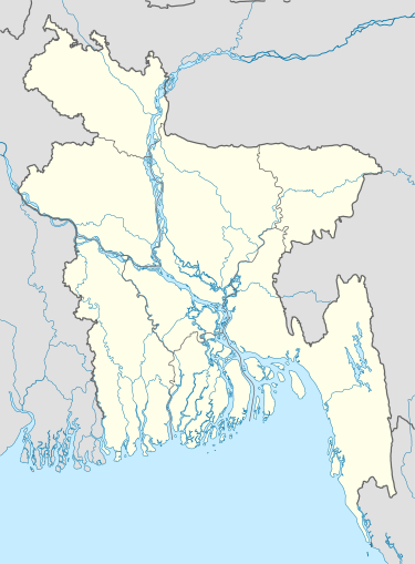 Birampur Location in Bangladesh | |
| Coordinates: 25°22.7′N 88°59′E / 25.3783°N 88.983°ECoordinates: 25°22.7′N 88°59′E / 25.3783°N 88.983°E | |
| Country |
|
| Division | Rangpur Division |
| District | Dinajpur District |
| Area | |
| • Total | 211.81 km2 (81.78 sq mi) |
| Population (1991) | |
| • Total | 134,778 |
| • Density | 640/km2 (1,600/sq mi) |
| Time zone | BST (UTC+6) |
| Website | Official Map of Birampur |

Birampur (Bengali: বিরামপুর) is an Upazila of Dinajpur District[1] in the Division of Rangpur, Bangladesh.
Geography
Birampur is located at 25°23′29″N 88°59′32″E / 25.391479°N 88.992111°E . It has 25770 households and total area 211.81 km². It is an upzilla of Dinajpur.
Demographics
As of the 1991 Bangladesh census, Birampur has a population of 134778. Males constitute 51.12% of the population, and females 48.88%. This Upazila's eighteen up population is 68878. Birampur has an average literacy rate of 29.8% (7+ years), and the national average of 32.4% literate.[2] The Density of Forestry in Birampur is approximately 18.5%.
Administration
Birampur has 1 pourashava, 7 Unions, 172 Mauzas/Mahallas, and 189 villages.Md. Parvez Kabir is now the Upazila Chairman in the Upazila Chairman election.election held on 27 February 2014. And so on Md. Liakot Hossain Is working as Mayor of Birampur Pouroshova. Md. Muniruzzaman is our running U.N.O.
See also
References
- ↑ Shamsuzzaman (2012). "Birampur Upazila". In Sirajul Islam and Ahmed A. Jamal. Banglapedia: National Encyclopedia of Bangladesh (Second ed.). Asiatic Society of Bangladesh.
- ↑ "Population Census Wing, BBS.". Archived from the original on 2005-03-27. Retrieved November 10, 2006.
| Upazila/Thana: | ||
|---|---|---|
Capital: Rangpur | ||
| Dinajpur District |  | |
| Gaibandha District | ||
| Kurigram District | ||
| Lalmonirhat District | ||
| Nilphamari District | ||
| Panchagarh District | ||
| Rangpur District | ||
| Thakurgaon District | ||
<Rownak Shahriar Ruhan ( Wikipedian of Bangladesh )/>