Bikin National Park
| Bikin National Park | |
|---|---|
| Russian: Бикин | |
|
IUCN category II (national park) | |
|
Bikin River Valley | |
 Location of Park | |
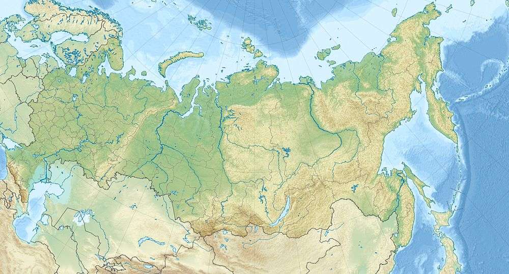
| Location | Primorsky Krai |
| Nearest city | Khabarovsk |
| Coordinates | 46°40′N 136°00′E / 46.667°N 136.000°ECoordinates: 46°40′N 136°00′E / 46.667°N 136.000°E |
| Area | 1,160,000 hectares (2,866,422 acres; 11,600 km2; 4,479 sq mi) |
| Established | 2015 |
| Governing body | FGBU "Bikin" |
.jpg)
Bikin National Park (Russian: (национальный парк «Бикин»)) was created on November 3, 2015 to protect the largest remaining old-growth mixed forest in the Northern Hemisphere, as well as the territory of 10% of all Amur tigers in the wild. The park was also created for the purpose of protecting the forest culture of the 600 indigenous inhabitants of the Bikin River Basin living in the territory - Udeghes and Nanai people. Because of its size for pristine forest, and its characterization as a "temperate rain forest", it has an important status as a center for biodiversity of both plants and animals.[1]The park sits in the administrative region of Pozharsky District, in Primorsky Krai in the Russian Far East on the west slope of the Sikhote-Alin mountains. The Bikin River valley is also on the tentative list for status as a World Heritage site.
Topography
The Bikin River flows west down the west slope of the central Sikhote-Alin, linking the Amur River basin on the west to the Primorsky ("Maritime") region on the east. The drainage basin of the Bikin runs through isolated mountainous territory, covered in mixed conifer and deciduous forest, emptying into the Ussuri River and ultimately the Amur and the Sea of Okhotsk. With over 1,160,000 hectares (4,500 sq mi) of undeveloped territory, the unbroken forest provides a refuge for large numbers of vulnerable species.

Recent reviews by park managers record 51 species of mammals (moose, wild boar, roe deer, red deer, musk deer, tiger, brown and Himalayan bears, sable, mink, muskrat, etc.), and 194 species of birds.
Climate and ecoregion
The official climate designation for the Shantar area is "Humid continental climate" (Köppen climate classification Dfb), with large seasonal temperature differentials, hot and possibly wet summers, and cold winters.[2]
| Khabarovsk, (Russia) | ||||||||||||||||||||||||||||||||||||||||||||||||||||||||||||
|---|---|---|---|---|---|---|---|---|---|---|---|---|---|---|---|---|---|---|---|---|---|---|---|---|---|---|---|---|---|---|---|---|---|---|---|---|---|---|---|---|---|---|---|---|---|---|---|---|---|---|---|---|---|---|---|---|---|---|---|---|
| Climate chart (explanation) | ||||||||||||||||||||||||||||||||||||||||||||||||||||||||||||
| ||||||||||||||||||||||||||||||||||||||||||||||||||||||||||||
| ||||||||||||||||||||||||||||||||||||||||||||||||||||||||||||
Park Developments
Along with nature conservation and eco-tourism, the park's infrastructure is being developed in ways designed to protect the forest-based lifestyle of the Udeghe and Nanai people. An estimated 600 indigenous inhabitants of the area live a traditional lifestyle of fishing, hunting, and gathering pine nuts. In the course of zoning the park for different uses (conservation, scientific study, eco-tourism, etc.), the government has committed to allowing 68% of the land to remain available for the traditional uses of the indigenous people.[3][4]

See also
References
- ↑ "In Russia, the National Park "Bikini"" (in Russian). World Wildlife Federation - Russia.
- ↑ "Climate Data, Khabarovsk". climate-data.org.
- ↑ "November 10 - Bikin National Park". Retrieved January 10, 2016.
- ↑ "Directive Creating Bikin National Park". Ministry of Natural Resources of the Russian Federation. Retrieved January 10, 2016.
