Benton Park West, St. Louis
| Benton Park West | |
|---|---|
| St. Louis neighborhood | |
 | |
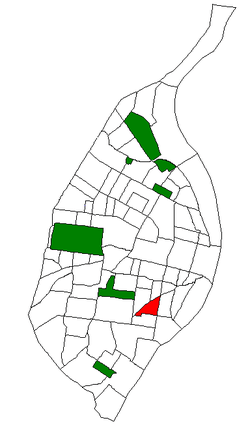 Location of Benton Park West within St. Louis | |
| Country | United States |
| State | Missouri |
| City | St. Louis |
| Wards | 9, 15, 20 |
| Area | |
| • Total | 0.40 sq mi (1.0 km2) |
| Population (2010)[1] | |
| • Total | 4,404 |
| • Density | 11,000/sq mi (4,300/km2) |
| ZIP code(s) | Part of 63118 |
| Area code(s) | 314 |
| Website | stlouis-mo.gov |
Benton Park West is a neighborhood located in South St. Louis City, Missouri, United States. The neighborhood is bounded by Jefferson Ave. on the east, Gravois Ave. (MO Route 30) on the north and west, and an irregular boundary consisting of Cherokee Street, S. Compton Ave., and Potomac Street to the south.[2] The neighborhood is the conglomeration of two different neighborhoods in the 1970s, Compton Hill and Marquette-Cherokee. Parts of these two 1970s neighborhoods make up the current day Benton Park West. Marquette-Cherokee was bounded by Arsenal Street on the north, Bates Street on the south and Grand Boulevard on the west. Its eastern edge was the bank of the Mississippi River. Benton Park West has the highest percentage of Latino residents among St. Louis neighborhoods.
Demographics
In 2010 Benton Park West's racial makeup was 59.6% Black, 28.0% White, 1.9% Asian, 5.1% Two or More Races, and 5.2% Some Other Race. 10.5% of the neighborhood's population was of Hispanic or Latino origin.[3]
See also
References
- ↑ Census Summary By Neighborhoods Archived September 2, 2009, at the Wayback Machine.
- ↑ Neighborhood Data Profile for Benton Park West Archived September 2, 2009, at the Wayback Machine.
- ↑ http://dynamic.stlouis-mo.gov/census/neigh_comp.cfm
External links
- Benton Park West neighborhood website
- Interactive List Serve for the neighborhood
Coordinates: 38°35′52″N 90°13′53″W / 38.5977°N 90.2315°W