Bella Coola Airport
| Bella Coola Airport | |||||||||||
|---|---|---|---|---|---|---|---|---|---|---|---|
|
| |||||||||||
|
IATA: QBC – ICAO: CYBD – WMO: 71206 | |||||||||||
| Summary | |||||||||||
| Airport type | Private | ||||||||||
| Operator | Central Coast Regional District | ||||||||||
| Location | Bella Coola, British Columbia | ||||||||||
| Time zone | PST (UTC−08:00) | ||||||||||
| • Summer (DST) | PDT (UTC−07:00) | ||||||||||
| Elevation AMSL | 117 ft / 36 m | ||||||||||
| Coordinates | 52°23′15″N 126°35′45″W / 52.38750°N 126.59583°WCoordinates: 52°23′15″N 126°35′45″W / 52.38750°N 126.59583°W | ||||||||||
| Map | |||||||||||
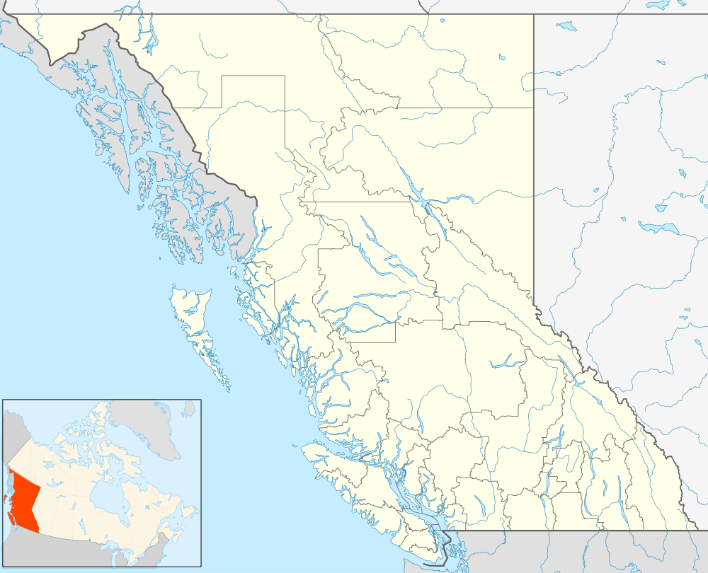 CYBD Location in British Columbia | |||||||||||
| Runways | |||||||||||
| |||||||||||
Bella Coola Airport, (IATA: QBC, ICAO: CYBD), is located 6 nautical miles (11 km; 6.9 mi) northeast of Bella Coola, British Columbia, Canada.
This airport is limited to Day/VFR operations. Weather reports are available most days until 3PM local time by contacting Kamloops Flight Service (Nav Canada).
Airlines and destinations
| Airlines | Destinations |
|---|---|
| Pacific Coastal Airlines | Anahim Lake, Vancouver |
References
- ↑ Canada Flight Supplement. Effective 0901Z 15 September 2016 to 0901Z 10 November 2016
- ↑ Synoptic/Metstat Station Information Archived June 28, 2013, at the Wayback Machine.
External links
- Page about this airport on COPA's Places to Fly airport directory
- Accident history for QBC at Aviation Safety Network
- Past three hours METARs, SPECI and current TAFs for Bella Coola Airport from Nav Canada as available.
| By name | |
|---|---|
| By location indicator | |
| By province/territory | |
| By region | |
| National Airports System | |
| Related | |
| |
This article is issued from Wikipedia - version of the 12/4/2016. The text is available under the Creative Commons Attribution/Share Alike but additional terms may apply for the media files.