Belén District, Carrillo
| Belén, Carrillo | |
|---|---|
|
District and village | |
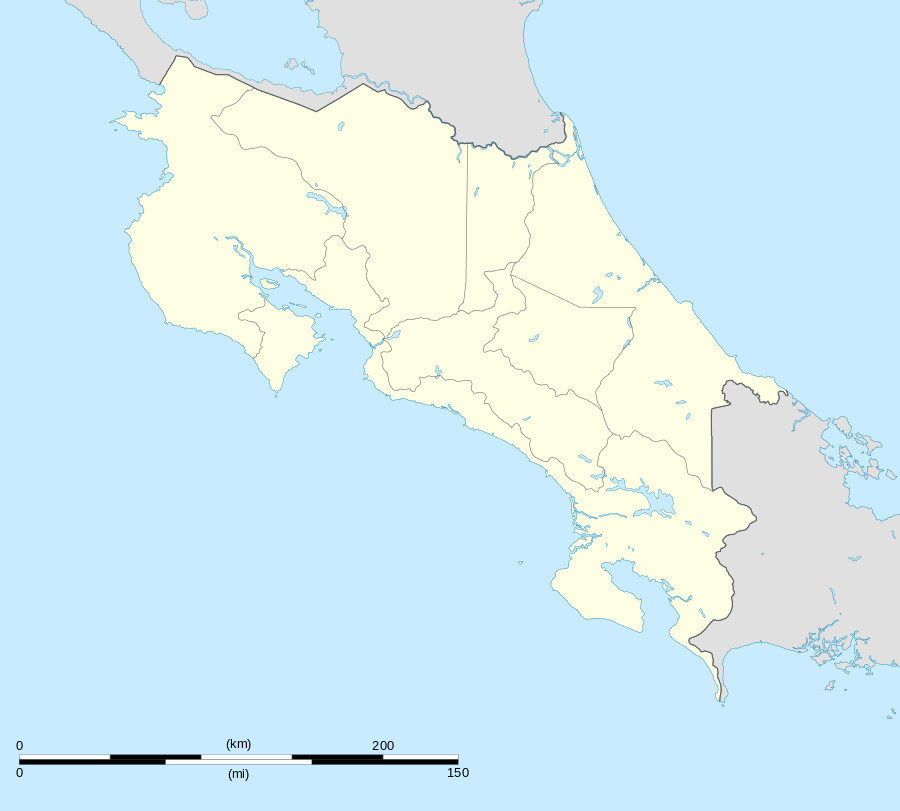 Belén, Carrillo Location in Costa Rica | |
| Coordinates: 10°24′35″N 85°35′22″W / 10.40972°N 85.58944°W | |
| Country | Costa Rica |
| Province | Guanacaste |
| Canton | Carrillo |
| Area | |
| • Total | 174.91 km2 (67.53 sq mi) |
| Elevation | 34 m (112 ft) |
| Population (June 2013) | |
| • Total | 9,455 |
| • Density | 54/km2 (140/sq mi) |
| Postal code | 50504 |
Belén District is a district and village in the canton of Carrillo, Guanacaste Province in Costa Rica.[1]
The district has a population of around 5,600 people.[2]
Villages
Administrative center of the district is the village of Belén.
Other villages in the district are Alto San Antonio, Cachimbo, Castilla de Oro, Coyolito, Gallina, Juanilama, Loma Bonita, Llano, Ojochal, Palestina, Palmas, Paraíso, Penca, Planes, Poroporo, Río Cañas Nuevo, Santa Ana, Santo Domingo.[1]
References
- 1 2 "Belén". Retrieved 2015-03-24.
- ↑ Estadísticas Vitales 2013 - INEC
This article is issued from Wikipedia - version of the 10/30/2016. The text is available under the Creative Commons Attribution/Share Alike but additional terms may apply for the media files.