Barpeta
| Barpeta Tatikuchi Satra Nagari | |
|---|---|
| city | |
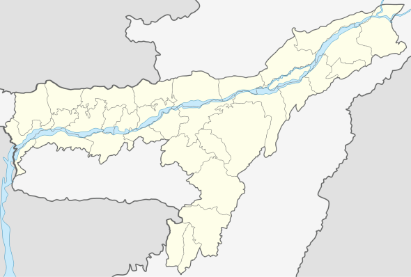 Barpeta  Barpeta Location in Assam, India | |
| Coordinates: 26°19′N 91°00′E / 26.32°N 91.0°ECoordinates: 26°19′N 91°00′E / 26.32°N 91.0°E | |
| Country |
|
| State | Assam |
| District | Barpeta |
| Elevation | 35 m (115 ft) |
| Population (2001) | |
| • Total | 41,175 |
| Languages | |
| • Official | Assamese |
| Time zone | IST (UTC+5:30) |
| PIN | 781301 |
| ISO 3166 code | IN-AS |
| Vehicle registration | As-15-X-XXXX |
| Website |
barpeta |
Barpeta (Pron: bə(r)ˈpeɪtə / bə(r)ˈpi:tə ) is a town in Barpeta district, India and is district headquarters. The city is located 90 kilometres (56 mi) north west of Guwahati and is one of the major cities in Western Assam.It called Satra Nagari (Temple town) of Assam.
Geography
It is located at 26°19′N 91°00′E / 26.32°N 91.0°E.[1] It has an average elevation of 35 metres (114 feet). It is 44 km away from Manas National Park. Three rivers - Chaulkhowa, Mora Nodi (Dead River) and Nakhanda, both of which are tributaries to Brahmaputra run through the town.[2]
Forestry
Barpeta is the gateway to Manas National Park, one of the largest forests of Assam and one of the few tiger reserves of India.
Demographics
As of 2001 India census,[3] Barpeta had a population of 41,175. Males constitute 50% of the population and females 50%. Barpeta has an average literacy rate of 80%, higher than the national average of 59.5%; with 54% of the males and 46% of females literate. 10% of the population is under 6 years of age.
Climate
Barpeta has subtropical climate, with chilly winters and hot humid summers.
| Climate data for Barpeta | |||||||||||||
|---|---|---|---|---|---|---|---|---|---|---|---|---|---|
| Month | Jan | Feb | Mar | Apr | May | Jun | Jul | Aug | Sep | Oct | Nov | Dec | Year |
| Record high °C (°F) | 28.8 (83.8) |
32.2 (90) |
38.4 (101.1) |
39.0 (102.2) |
37.0 (98.6) |
38.3 (100.9) |
36.5 (97.7) |
36.2 (97.2) |
35.8 (96.4) |
34.3 (93.7) |
31.0 (87.8) |
28.1 (82.6) |
39 (102.2) |
| Average high °C (°F) | 23.6 (74.5) |
26.2 (79.2) |
30.0 (86) |
31.2 (88.2) |
31.2 (88.2) |
31.7 (89.1) |
31.9 (89.4) |
32.2 (90) |
31.7 (89.1) |
30.3 (86.5) |
27.6 (81.7) |
24.7 (76.5) |
29.36 (84.87) |
| Average low °C (°F) | 10.3 (50.5) |
12.0 (53.6) |
15.9 (60.6) |
20.0 (68) |
22.7 (72.9) |
24.9 (76.8) |
25.6 (78.1) |
25.6 (78.1) |
24.7 (76.5) |
21.9 (71.4) |
16.7 (62.1) |
11.8 (53.2) |
19.34 (66.82) |
| Record low °C (°F) | −2.7 (27.1) |
−0.5 (31.1) |
6.1 (43) |
11.1 (52) |
16.2 (61.2) |
20.4 (68.7) |
21.4 (70.5) |
22.1 (71.8) |
17.7 (63.9) |
10.6 (51.1) |
5.5 (41.9) |
−0.7 (30.7) |
−2.7 (27.1) |
| Average rainfall mm (inches) | 11.9 (0.469) |
18.3 (0.72) |
55.8 (2.197) |
147.9 (5.823) |
244.2 (9.614) |
316.4 (12.457) |
345.4 (13.598) |
264.3 (10.406) |
185.9 (7.319) |
91.2 (3.591) |
18.7 (0.736) |
7.1 (0.28) |
1,717.7 (67.626) |
| Average rainy days | 1.8 | 2.9 | 5.8 | 13.1 | 17.0 | 19.6 | 22.3 | 18.5 | 15.2 | 7.4 | 2.8 | 1.3 | 127.7 |
| Average relative humidity (%) | 79 | 65 | 57 | 68 | 75 | 81 | 83 | 82 | 83 | 82 | 82 | 82 | 76.6 |
| Mean monthly sunshine hours | 226.3 | 214.7 | 220.1 | 201.0 | 192.2 | 132.0 | 124.0 | 161.2 | 138.0 | 204.6 | 231.0 | 232.5 | 2,277.6 |
| Source: World Meteorological Organization | |||||||||||||
Politics
Barpeta is part of Barpeta (Lok Sabha constituency).[4] Indian president Fakaruddin Ali Ahmed was an MP from the Barpeta constituency. Syed Abdur Rouf, A.F Golam Osmani and other prominent persons represented Barpeta in the constitutional assembly.[5] There 7 nos of Assembly Constituency in the district. Those are Jania, Baghbar, Sorbhog, Sarukhetri, Bhabanipur, Chenga and Barpeta .[6]
Transport
The nearest railway station, airport and port is Barpeta Road, Lokpriya Gopinath Bordoloi International Airport and Dhubri respectively.[7] Barpeta town is connected to National Highway 31 through Howly, and Hajo-Doulashal road connects it to Guwahati town.
Notable people
- Chandra Bharati, poet
- Rameshwar Pathak, Kamrupi Lokgeet singer
- Fakhruddin Ali Ahmed, fifth President of India
- Mahendra Mohan Choudhry, fourth chief minister of Assam
- Ambikagiri Raichoudhury, poet and nationalist
- Banikanta Kakati, writer
- Ambikagiri Raychoudhury, writer, Freedom Fighter
- Colonel Guru Prasad Das, inventor of Vacuum brake , First IRS
References
- ↑ Falling Rain Genomics, Inc - Barpeta
- ↑ http://barpeta.nic.in/History.htm
- ↑ "Census of India 2001: Data from the 2001 Census, including cities, villages and towns (Provisional)". Census Commission of India. Archived from the original on 2004-06-16. Retrieved 2008-11-01.
- ↑ "List of Parliamentary & Assembly Constituencies" (PDF). Assam. Election Commission of India. Archived from the original (PDF) on 2006-05-04. Retrieved 2008-10-05.
- ↑ "Members of Constitutional Assembly".
- ↑ http://umain30.com/profile
- ↑ CEO,Focus A-Z Entertainment Pvt Ltd "Barpeta" Check
|url=value (help). lumain30.com.