Barimunya Airport
| Barimunya Airport | |||||||||||
|---|---|---|---|---|---|---|---|---|---|---|---|
| IATA: BYP – ICAO: YBRY | |||||||||||
| Summary | |||||||||||
| Airport type | Private | ||||||||||
| Operator | Barimunya Joint Venture | ||||||||||
| Serves | Barimunya, Western Australia, Australia | ||||||||||
| Elevation AMSL | m / 2,082 ft | ||||||||||
| Coordinates | 22°40′26″S 119°09′58″E / 22.67389°S 119.16611°ECoordinates: 22°40′26″S 119°09′58″E / 22.67389°S 119.16611°E | ||||||||||
| Map | |||||||||||
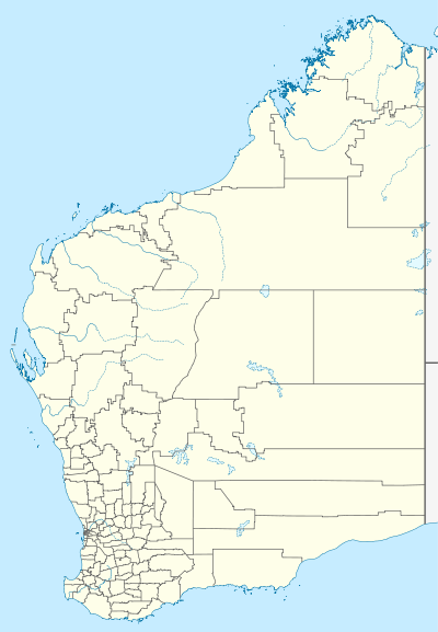 BYP Location of the airport in Western Australia | |||||||||||
| Runways | |||||||||||
| |||||||||||
Barimunya Airport (IATA: BYP, ICAO: YBRY) is located at Barimunya, Western Australia and is approximately 8.25 km (5.13 mi) northeast of the Yandi mine.
See also
References
- ↑ YBRY – Barimunya (PDF). AIP En Route Supplement from Airservices Australia, effective 10 November 2016, Aeronautical Chart Archived 11 April 2012 at the Wayback Machine.
- ↑ Airport information for Barimunya Airport at Search (for) Travel website.
This article is issued from Wikipedia - version of the 11/14/2016. The text is available under the Creative Commons Attribution/Share Alike but additional terms may apply for the media files.