Ballinalack
| Ballinalack Béal Átha na Leac | |
|---|---|
| Townland and village | |
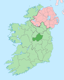
 Ballinalack Location of Ballinalack within County Westmeath in the Republic of Ireland | |
| Coordinates: 53°37′41″N 7°28′6″W / 53.62806°N 7.46833°WCoordinates: 53°37′41″N 7°28′6″W / 53.62806°N 7.46833°W | |
| Country |
|
| Province | Leinster |
| County | County Westmeath |
| Irish grid reference | N352644 |
Ballinalack (Irish: Béal Átha na Leac, meaning "the mouth of the ford of the flag-stones")[1] is a village and a townland in County Westmeath, Ireland. It is located about 14 kilometres (9 mi) north–west of Mullingar.
Ballinalack is one of 15 townlands of the civil parish of Leny in the barony of Corkaree in the Province of Leinster. The townland covers 151 acres (0.61 km2). The River Inny meanders past forming the western boundary of the townland. The neighbouring townlands are: Cappagh to the north, Carrick and Grange to the east, Cullenhugh and Glebe to the south and Joanstown to the west.[2][3]
In the 1911 census of Ireland there were 24 houses[4][5] and 105 inhabitants[6] in the townland, mostly centred in the village.
References
- ↑ Ballinalack Townland, Co. Westmeath Irish Local Names Explained by P. W. Joyce Retrieved on 6 June 2015.
- ↑ Ballinalack Townland, Co. Westmeath Townlands.ie Retrieved on 6 June 2015.
- ↑ Ballinalack Townland, Co. Westmeath IreAtlas Townland Data Base Retrieved on 6 June 2015.
- ↑ Houses in Ballinalack. Census of Ireland 1911. Retrieved on 6 June 2015.
- ↑ Houses in Ballinalack town. Census of Ireland 1911. Retrieved on 6 June 2015.
- ↑ Inhabitants in Ballinalack and Ballinalack town. Census of Ireland 1911. Retrieved on 6 June 2015.
External links
- Ballinalack at the IreAtlas Townland Data Base
- Ballinalack at Townlands.ie
- Ballinalack at Logainm.ie