Bailadila Range
| Bailadila Range | |
|---|---|
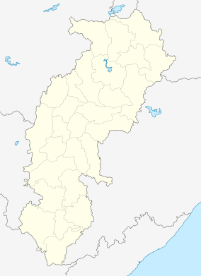 Location of the Bailadila Range in Chhattisgarh | |
| Highest point | |
| Peak | Unnamed hill |
| Elevation | 1,276 m (4,186 ft) |
| Dimensions | |
| Length | 70 km (43 mi) SW-NE |
| Width | 25 km (16 mi) NW-SE |
| Geography | |
| Country | India |
| State | Chhattisgarh |
| Range coordinates | 18°40′N 81°44′E / 18.66°N 81.73°ECoordinates: 18°40′N 81°44′E / 18.66°N 81.73°E |
| Bailadila Range highest point | |
|---|---|
| Highest point | |
| Elevation | 1,276 m (4,186 ft) |
| Listing | List of Indian states and territories by highest point |
| Coordinates | [1] |
| Geography | |
| Location | Dantewada district, Chhattisgarh, India |
| Parent range | Bailadila Range |
| Climbing | |
| Easiest route | Hike |
Bailadila Range, is a mountain range rising in the Deccan Plateau about 200 km west of the Eastern Ghats. It is located near Kirandul town in the Dantewada district of southern Chhattisgarh, India.[2]
Highest point in Chhattisgarh
The range is located in the northeastern area of the Deccan Plateau. It extends in a roughly SW - NE direction for a length of about 70 km south of the Indravati River.[3] Rising to a height of 1,276 m, one of the hills of the Bailadila Range is the highest point in the state of Chhattisgarh.
The hills are located at a distance of about 40 km south west of Dantewada, the district headquarters in the state.[4] Formerly the Biladila slopes were thickly wooded, but the range has been a mining area producing very high grade iron ore and the mineral extraction has left many areas of the mountains scarred.[5]
See also
References
- ↑ Bailadila range highest point (1276m), Highest point in Chhattisgarh
- ↑ Bailadila Hills, Dantewada district, Chhattisgarh
- ↑ Geographical Features of the Flora of the Bailadila Range in Bastar State
- ↑ The Journal of the Bombay Natural History Society - Google Books
- ↑ National Mineral Development Corporation, Dantewada district, Chhattisgarh
External links
| Governance | 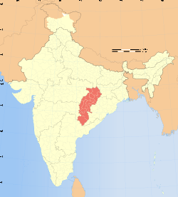 | |
|---|---|---|
| Topics | ||
| Districts | ||
| Cities | ||
| ||