Bafoussam
| Bafoussam | |
|---|---|
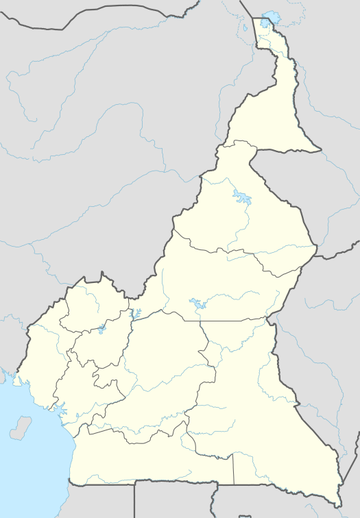 Bafoussam Location in Cameroon | |
| Coordinates: 5°28′N 10°25′E / 5.467°N 10.417°E | |
| Country |
|
| Regions | West |
| Department | Mifi |
| Elevation | 1,521 m (4,990 ft) |
| Population (2005) | |
| • Total | 239,287 |
| (census) | |
| Website | Official website |
Bafoussam is the capital of the West Region of Cameroon, in the Bamboutos Mountains. It is the prefecture of the Mifi department, one of three arrondissements in the department. The city had a population of 239,287 inhabitants (at the 2005 Census). The city is the region's center of trade. People are farming coffee, tobacco and tea. The city has also a coffee processing facility and brewery. It is the main city of the Bamiléké people and is home to a chief's palace. The city of Bafoussam has grown to now include the three traditional "chefferies" of Baleng, Fusap and Bamougoum. The main neighborhoods of the city are Banego, Djeleng, Famla, Kamkop, Quartier Eveché, Quartier Haussa and Tamdja.
Bafoussam has two main markets (Marché A and Marché B), several internet cafes, restaurants and supermarkets and a movie theater. Most of Bafoussam nightlife centers on the area called Akwa (so-named in honor of the neighborhood in Douala). Akwa features several bars, stores, and a live music venue, along with customary vendors of soya (grilled meat brochettes), poisson braisé (grilled fish) and other foods.
This is the birthplace of footballer Geremi and his 17 brothers and sisters, as well as the birthplace of his cousin Pierre Webó.
Climate
Köppen-Geiger climate classification system classifies its climate as Subtropical highland Climate (Cwb) or an Oceanic Climate type (Cwb), featuring a dry and cool to cold winters and warm to cool summers(With Cool nights on summers) with some few hot days,[1] however, its temperatures are lower than other locations with this classification due to its high elevation.
Its highest record temperature was 41 °C (106 °F) on April 28, 1981, while its lowest record temperatures was 0 °C (32 °F) on December 19, 1981.[2]
| Climate data for Bafoussam | |||||||||||||
|---|---|---|---|---|---|---|---|---|---|---|---|---|---|
| Month | Jan | Feb | Mar | Apr | May | Jun | Jul | Aug | Sep | Oct | Nov | Dec | Year |
| Record high °C (°F) | 33 (91) |
39 (102) |
37 (99) |
41 (106) |
39 (102) |
36 (97) |
35 (95) |
36 (97) |
33 (91) |
40 (104) |
34 (93) |
39 (102) |
41 (106) |
| Average high °C (°F) | 27 (81) |
27.6 (81.7) |
26.9 (80.4) |
26.1 (79) |
25.2 (77.4) |
23.8 (74.8) |
23 (73) |
23.2 (73.8) |
23.8 (74.8) |
24.1 (75.4) |
24.9 (76.8) |
25.9 (78.6) |
25.12 (77.22) |
| Daily mean °C (°F) | 20.7 (69.3) |
21.1 (70) |
21.6 (70.9) |
21 (70) |
20.3 (68.5) |
19.4 (66.9) |
19 (66) |
19 (66) |
19 (66) |
19.2 (66.6) |
19.8 (67.6) |
20.2 (68.4) |
20.02 (68.02) |
| Average low °C (°F) | 14.5 (58.1) |
14.7 (58.5) |
16.3 (61.3) |
16 (61) |
15.5 (59.9) |
15.1 (59.2) |
15 (59) |
14.9 (58.8) |
14.3 (57.7) |
14.3 (57.7) |
14.8 (58.6) |
14.5 (58.1) |
14.99 (58.99) |
| Record low °C (°F) | 8 (46) |
2 (36) |
3 (37) |
12 (54) |
11 (52) |
14 (57) |
3 (37) |
8 (46) |
4 (39) |
12 (54) |
11 (52) |
0 (32) |
0 (32) |
| Average precipitation mm (inches) | 11 (0.43) |
34 (1.34) |
106 (4.17) |
170 (6.69) |
184 (7.24) |
197 (7.76) |
255 (10.04) |
255 (10.04) |
321 (12.64) |
270 (10.63) |
58 (2.28) |
10 (0.39) |
1,871 (73.65) |
| Source #1: Climate-Data.org (altitude: 1432m)[1] | |||||||||||||
| Source #2: Voodoo Skies for record temperatures[2] | |||||||||||||
References
- 1 2 "Climate: Bafoussam - Climate graph, Temperature graph, Climate table". Climate-Data.org. Archived from the original on 2013-12-03. Retrieved 2013-12-01.
- 1 2 "Bafoussam, Cameroon". Voodoo Skies. Retrieved 2013-12-01.
| Wikivoyage has a travel guide for Bafoussam. |
Coordinates: 05°28′N 10°25′E / 5.467°N 10.417°E