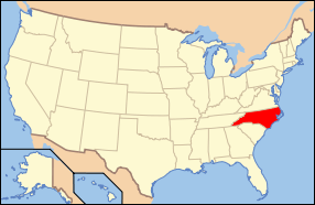
Badin Historic District
|
Badin Historic District | |
  | |
| Location | Roughly bounded by NC 740, Pine St., and Country Club property line, Badin, North Carolina |
|---|---|
| Coordinates | 35°24′13″N 80°06′45″W / 35.40361°N 80.11250°WCoordinates: 35°24′13″N 80°06′45″W / 35.40361°N 80.11250°W |
| Area | 170 acres (69 ha) |
| Built by | Giesey, G. H., Associates; Pierson & Goodrich |
| Architectural style | Bungalow/craftsman, Gothic Revival |
| MPS | Badin MRA |
| NRHP Reference # | 83004000[1] |
| Added to NRHP | October 12, 1983 |
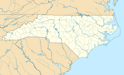
Badin Historic District is a national historic district located at Badin, Stanly County, North Carolina. The district encompasses 200 contributing buildings and 8 contributing sites in the company town of Badin. They were built starting about 1912 and include residential, institutional, and commercial structures in Gothic Revival and Bungalow / American Craftsman style architecture. The community was developed by the Southern Aluminum Company of America, later Alcoa, with Badin developed for white residents. Notable buildings include the Badin Hospital (c. 1920), Bakin Elementary School (c. 1920), 24 Henderson Street (c. 1916-1917), 28-30 Henderson Street duplex (1914), 27-33 Boyden Street quadraplex (1913-1914), Badin Club House (c. 1914) and Club House Annex (c. 1920), and Badin Baptist Church (c. 1925).[2]
It was added to the National Register of Historic Places in 1983.[1]
References
- 1 2 National Park Service (2010-07-09). "National Register Information System". National Register of Historic Places. National Park Service.
- ↑ Brent D. Glass and Pat Dickinson (May 1981). "Badin Historic District" (pdf). National Register of Historic Places - Nomination and Inventory. North Carolina State Historic Preservation Office. Retrieved 2015-05-01.