Ayagoz
| Ayagoz Аягөз | ||
|---|---|---|
| ||
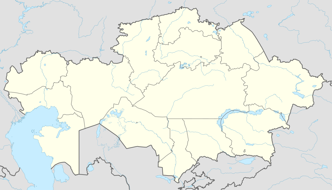 Ayagoz Location in Kazakhstan | ||
| Coordinates: 47°58′0″N 80°26′0″E / 47.96667°N 80.43333°E | ||
| Country | Kazakhstan | |
| Region | East Kazakhstan Region | |
| Founded | 1831 | |
| Incorporated (city) | 1939 | |
| Government | ||
| • Akim (mayor) | Mukhtarkhanov Anuarbek Mukhtarkhanuly | |
| Area | ||
| • City | 161 km2 (62 sq mi) | |
| Population (2009) | ||
| • Metro | 37,537 | |
| Time zone | ALMT (UTC+6) | |
| Postal code | 070201 | |
| Area code(s) | +7 72237 | |
| Website | http://ayagos.vko.gov.kz/kz | |
| Kazakh | ||

Ayagoz or Ayakoz (Kazakh: Аягөз, formerly Russian: Сергиополь, Sergiopol) is a city of regional significance in Kazakhstan, the administrative centre of Ayagoz district of East Kazakhstan Region. It is located in eastern Kazakhstan, on the banks of the Ayagoz River. Population: 37,537 (2009 Census results);[1]38,470 (1999 Census results).[1]
History
The town was incorporated in 1939 under the power of USSR.
In 1991 it became an administrative center of Ayagoz District.
Climate
| Climate data for Ayagoz | |||||||||||||
|---|---|---|---|---|---|---|---|---|---|---|---|---|---|
| Month | Jan | Feb | Mar | Apr | May | Jun | Jul | Aug | Sep | Oct | Nov | Dec | Year |
| Average high °C (°F) | −11 (13) |
−9 (16) |
0 (32) |
12 (53) |
21 (70) |
26 (79) |
28 (83) |
27 (80) |
21 (70) |
11 (51) |
−2 (28) |
−10 (14) |
9 (49) |
| Average low °C (°F) | −22 (−8) |
−21 (−6) |
−10 (14) |
−2 (29) |
4 (40) |
11 (51) |
13 (55) |
11 (51) |
3 (38) |
−3 (27) |
−11 (12) |
−20 (−4) |
−4 (25) |
| Average precipitation mm (inches) | 23 (0.9) |
15 (0.6) |
38 (1.5) |
13 (0.5) |
30 (1) |
48 (1.9) |
56 (2.2) |
20 (0.8) |
8 (0.3) |
28 (1.1) |
30 (1.2) |
23 (0.9) |
328 (12.9) |
| Source: Weatherbase [2] | |||||||||||||
References
- 1 2 "Население Республики Казахстан" (in Russian). Департамент социальной и демографической статистики. Retrieved 8 December 2013.
- ↑ "Weatherbase: Historical Weather for Ayagoz, Kazakhstan". Weatherbase. 2011. Retrieved on November 24, 2011.
Coordinates: 47°58′N 80°26′E / 47.967°N 80.433°E
Capital: Oskemen | ||
| Districts |  | |
| Major cities | ||
This article is issued from Wikipedia - version of the 9/19/2016. The text is available under the Creative Commons Attribution/Share Alike but additional terms may apply for the media files.