Averasboro Battlefield Historic District
|
Averasboro Battlefield Historic District | |
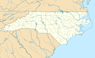  | |
| Nearest city | Roughly bounded by Cape Fear R., NC 1780, the Black R., NC 1801, near Erwin, North Carolina |
|---|---|
| Coordinates | 35°15′16″N 78°39′52″W / 35.25444°N 78.66444°WCoordinates: 35°15′16″N 78°39′52″W / 35.25444°N 78.66444°W |
| Area | 4,700 acres (1,900 ha) |
| Built | 1865, 1872 |
| Architectural style | Georgian, Federal, et.al. |
| NRHP Reference # | 00001425[1] |
| Added to NRHP | May 10, 2001 |
Averasboro Battlefield Historic District is a national historic district located near Erwin, Harnett County, North Carolina. It encompasses four contributing buildings, three contributing sites, three contributing structures, and one contributing object on the battlefield associated with the American Civil War Battle of Averasboro of March 15–16, 1865. They include the separately listed Oak Grove and Lebanon plantations, along with a Commemorative Marker (1872), Chicora Cemetery and over 4,000 acres of rural agricultural land.[2]
It was listed on the National Register of Historic Places in 2001.[1]
References
- 1 2 National Park Service (2010-07-09). "National Register Information System". National Register of Historic Places. National Park Service.
- ↑ Michelle A. Michael (April 2000). "Averasboro Battlefield Historic District" (pdf). National Register of Historic Places - Nomination and Inventory. North Carolina State Historic Preservation Office. Retrieved 2014-08-01.

This article is issued from Wikipedia - version of the 11/30/2016. The text is available under the Creative Commons Attribution/Share Alike but additional terms may apply for the media files.