Attert
For the river, see Attert (river).
| Attert | |||
|---|---|---|---|
| Municipality | |||
|
Neighbourhood of St. Stephen's Church | |||
| |||
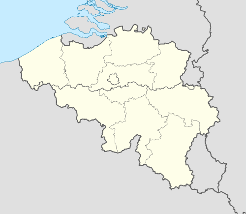 Attert Location in Belgium | |||
|
Location of Attert in Luxembourg province  | |||
| Coordinates: 49°45′N 5°47′E / 49.750°N 5.783°ECoordinates: 49°45′N 5°47′E / 49.750°N 5.783°E | |||
| Country | Belgium | ||
| Community | French Community | ||
| Region | Wallonia | ||
| Province | Luxembourg | ||
| Arrondissement | Arlon | ||
| Government | |||
| • Mayor | Joseph Arens | ||
| Area | |||
| • Total | 70.94 km2 (27.39 sq mi) | ||
| Population (1 January 2016)[1] | |||
| • Total | 5,411 | ||
| • Density | 76/km2 (200/sq mi) | ||
| Postal codes | 6717 | ||
| Area codes | 063 | ||
| Website | www.attert.be (French) | ||


.svg.png)
Attert (Atert in Luxembourgish, Ater in Walloon) is a Walloon municipality of Belgium located in the province of Luxembourg. On 1 January 2007 the municipality, which covers 70.94 km², had 4,802 inhabitants, giving a population density of 67.7 inhabitants per km².
The municipality consists of the following sub-municipalities: Attert proper, Nobressart, Nothomb, Thiaumont, and Tontelange. Other population centers include:
- Almeroth
- Grendel
- Heinstert
- Lischert
- Lottert
- Louchert
- Luxeroth
- Metzert
- Parette
- Post
- Rodenhoff
- Schadeck
- Schockville
The municipality falls within the Luxembourgish-speaking Arelerland and several street name signs are bilingual.
Sister cities
Attert is twinned with:[2]
-
 Taktaharkány (Hungary) since 2003
 -
.svg.png) Kruishoutem (Belgium) since 2004
Kruishoutem (Belgium) since 2004 -
 Bakałarzewo (Poland) since 2005
 -
 Bandundu, Democratic Republic of the Congo)
See also
References
- ↑ Population per municipality as of 1 January 2016 (XLS; 397 KB)
- ↑ Twinning page on official site (French).
External links
-
 Media related to Attert at Wikimedia Commons
 |
Martelange | Rambrouch (LU-D) | | |
| Habay | |
Ell (LU-D) Beckerich (LU-D) | ||
| ||||
| | ||||
| Arlon |
Municipalities of Luxembourg Province | ||
|---|---|---|
| Arlon | 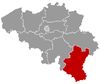 | |
| Bastogne | ||
| Marche-en-Famenne | ||
| Neufchâteau | ||
| Virton | ||
This article is issued from Wikipedia - version of the 12/1/2016. The text is available under the Creative Commons Attribution/Share Alike but additional terms may apply for the media files.