Athersley
| Athersley, Barnsley | |
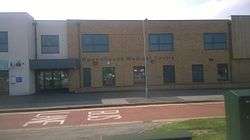 Roundhouse Medical Centre in Athersley |
|
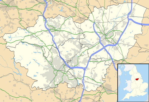 Athersley, Barnsley |
|
| Population | 3,000 (2001) |
|---|---|
| OS grid reference | SE345093 |
| – London | 150 mi (240 km) SE |
| Metropolitan borough | Barnsley |
| Metropolitan county | South Yorkshire |
| Region | Yorkshire and the Humber |
| Country | England |
| Sovereign state | United Kingdom |
| Post town | BARNSLEY |
| Postcode district | S71 |
| Dialling code | 01226 |
| Police | South Yorkshire |
| Fire | South Yorkshire |
| Ambulance | Yorkshire |
| EU Parliament | Yorkshire and the Humber |
| UK Parliament | Barnsley Central |
Coordinates: 53°34′47″N 1°28′49″W / 53.5796°N 1.4804°W
Athersley is an estate in the metropolitan borough of Barnsley in South Yorkshire, England, and is divided unevenly into two regions, North and South. The estate is the only estate in Barnsley to be split into two regions. The estate falls within the St Helens ward of Barnsley Metropolitan Council.
History
The site now occupied by the estate was once farmland and woodland. A large area from Lee Lane was known as Athersley Wood, which stretched nearly to Carlton Hill. The name was first recorded in 1379 as 'Hattirslay', probably meaning 'Aethred's forest glade' from the Old English 'Aethe[l]red' and 'leah'.[1]
Construction began in post war Britain, near the end of the 1940s, under the direction of the then Building Administrator. The land, originally dense woodland populated by a variety of wildlife, proved difficult to prepare, yet the need for more housing gave rise to an influx of labourers, many of whom stayed on in the houses they helped to build. This undertaking was instrumental in the decision to build more homes around the region, including 'Phase 2' of Athersley, which was later to become known as Athersley North. North and South are separated by a main B road, Laithes Lane. The adjoining estate of New Lodge is separated by Wakefield Road from Athersley North yet other estates surrounding the area have no noticeable separation, most notably Smithies and Monk Bretton.
Although woodland was cleared to make way for construction, remnants remain throughout the surrounding area, home to diverse wildlife, and ponds and creeks. Some of these areas are sanctuaries for the local wildlife, most recently Carlton Marshes, a lake or pond preserving water creatures and birds. This area was once home to Wharncliffe Woodmoor Colliery.
Community
The area is served by three primary schools, Athersley North Primary School, Athersley South Primary School and Richard Newman Primary School. The local secondary schools are Holy Trinity Catholic and Church of England School and Outwood Academy Carlton, both of which are on Carlton Road.
The area is served by a variety of shops, many of which are located at the top of Laithes Lane at its junction with Wakefield Road. Shops include Poundstretcher, Cooperative and Fultons Foods stores, cafes, bakers, butchers, a pet store, an alcohol retailer, and a barbers. There is a social club and a working men's club.
References
- ↑ On Our Street: Life in Athersley, New Lodge and Smithies, Roundhouse Community Partnership, 2006, p7