Asifabad, India
| Asifabad آصف آباد | |
|---|---|
| Census Town | |
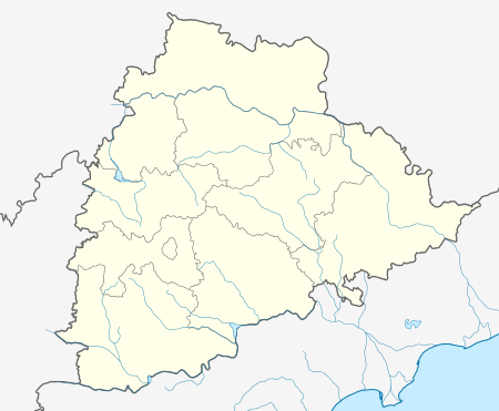 Asifabad  Asifabad Location in Telangana, India | |
| Coordinates: 19°21′54″N 79°16′26″E / 19.365°N 79.274°ECoordinates: 19°21′54″N 79°16′26″E / 19.365°N 79.274°E | |
| Country | India |
| State | Telangana |
| District | Asifabad |
| Government | |
| • Type | Gram Panchayat |
| • Body | Nagar Palika |
| Area[1] | |
| • Total | 16.70 km2 (6.45 sq mi) |
| Population (2011)[1] | |
| • Total | 23,059 |
| • Density | 1,400/km2 (3,600/sq mi) |
| Languages | |
| • Official | Urdu, Telugu |
| Time zone | IST (UTC+5:30) |
| PIN | 504293 |
| Vehicle registration | TS 20 |
| Website |
telangana |
Asifabad is a census town in Asifabad district of the Indian state of Telangana. It is located in Asifabad mandal of Asifabad revenue division.[2]
Geography
Asifabad is located at 19°21′54″N 79°16′26″E / 19.365°N 79.274°E.[3]
Transport
Road
This is town situated on Hyderabad-Chanda Highway and this town has one of the oldest Nizam started TSRTC depot and its famous depot for fast services and covers main routes and village routes. This town has RTO office also.
Rail
This town is not connected directly by railways but has nearby station named ASIFABAD ROAD (Rebbena) and daily many passengers stop at this station and New Express Intercity which runs between Hyderabad to Sirpur Kaghaznagar has Halt at this station.
References
- 1 2 "District Census Handbook - Adilabad" (PDF). Census of India. The Registrar General & Census Commissioner. pp. 13,214. Retrieved 13 May 2016.
- ↑ "District Level Mandal wise List of Villages in Andhra Pradesh" (PDF). Chief Commissioner of Land Administration. National Informatics Centre. p. 20. Archived from the original (PDF) on 19 December 2014. Retrieved 6 April 2016.
- ↑ Google Maps Asifabad, Telangana 504293
External links
This article is issued from Wikipedia - version of the 10/27/2016. The text is available under the Creative Commons Attribution/Share Alike but additional terms may apply for the media files.