Ashtabula County Airport
| Northeast Ohio Regional Airport | |||||||||||
|---|---|---|---|---|---|---|---|---|---|---|---|
| IATA: JFN – ICAO: KHZY – FAA LID: HZY | |||||||||||
| Summary | |||||||||||
| Airport type | Public | ||||||||||
| Owner | Ashtabula County Airport Authority | ||||||||||
| Operator | Ashtabula County Airport Authority | ||||||||||
| Serves | Ashtabula County, Ohio | ||||||||||
| Location | Jefferson, Ohio | ||||||||||
| Elevation AMSL | 924 ft / 282 m | ||||||||||
| Coordinates | 41°46′41″N 080°41′44″W / 41.77806°N 80.69556°W | ||||||||||
| Website | www.northeastohioregionalairport.com | ||||||||||
| Map | |||||||||||
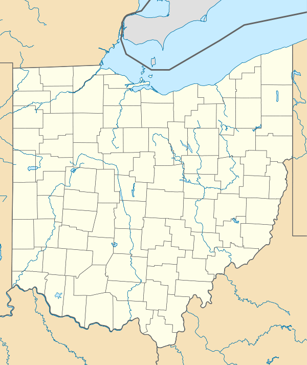 HZY  HZY Location of airport in Ohio/United States | |||||||||||
| Runways | |||||||||||
| |||||||||||
| Statistics (2008) | |||||||||||
| |||||||||||
Northeast Ohio Regional Airport (IATA: JFN, ICAO: KHZY, FAA LID: HZY), owned and operated by the Ashtabula County Airport Authority, is a public-use airport in Ashtabula County, Ohio, United States, eight nautical miles (15 km) southeast of the central business district of the city of Ashtabula.[1] The airport is located in the village of Jefferson, about 10 miles (16 km) south of Lake Erie.[2] According to the FAA's National Plan of Integrated Airport Systems for 2009–2013, it is classified as a general aviation airport.[3]
Although most U.S. airports use the same three-letter location identifier for the FAA and IATA, Northeast Ohio Regional Airport is assigned HZY by the FAA and JFN by the IATA.[4]
The airport received its current name in 2012[5] and the FAA recognized the name in early 2013.[6]
Facilities and aircraft
Northeast Ohio Regional Airport covers an area of 611 acres (247 ha) at an elevation of 924 feet (282 m) above mean sea level. It has one runway designated 8/26 with an asphalt surface measuring 5,197 by 100 feet (1,584 x 30 m).[1]
For the 12-month period ending April 23, 2008, the airport had 16,886 aircraft operations, an average of 46 per day: 95.9% general aviation, 4% air taxi, and <1% military. At that time there were 44 aircraft based at this airport: 89% single-engine, 9% multi-engine and 2% jet.[1]
References
- 1 2 3 4 FAA Airport Master Record for HZY (Form 5010 PDF). Federal Aviation Administration. Effective 27 Aug 2009.
- ↑ Ashtabula County Airport (KHZY). Official website. Accessed 7 Feb 2010.
- ↑ FAA National Plan of Integrated Airport Systems: 2009–2013. Federal Aviation Administration. Updated 15 Oct 2008.
- ↑ JFN / KHZY - Ashtabula County Airport. Great Circle Mapper. Accessed 7 Feb 2010.
- ↑ Feather, Carl E. (7 March 2013). "Vision for Ashtabula County's airport focus of Profiles speaker". Star Beacon. Retrieved 29 January 2016.
- ↑ "FAA Publications to Reflect Airport Name Change". Northeast Ohio Regional Airport. 10 January 2013. Retrieved 29 January 2016.
External links
- Aerial photo as of 20 April 1994 from USGS The National Map
- FAA Terminal Procedures for HZY, effective November 10, 2016
- Resources for this airport:
- FAA airport information for HZY
- AirNav airport information for KHZY
- ASN accident history for JFN
- FlightAware airport information and live flight tracker
- NOAA/NWS latest weather observations
- SkyVector aeronautical chart, Terminal Procedures