Ash Lake, Minnesota
| Ash Lake, Minnesota | |
|---|---|
| Unincorporated community | |
 Ash Lake, Minnesota  Ash Lake, Minnesota Location of the community of Ash Lake | |
| Coordinates: 48°13′08″N 92°54′58″W / 48.21889°N 92.91611°WCoordinates: 48°13′08″N 92°54′58″W / 48.21889°N 92.91611°W | |
| Country | United States |
| State | Minnesota |
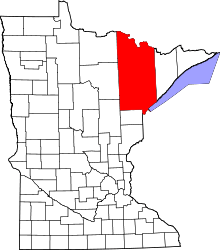
| County | Saint Louis |
| Unorganized territory | Northwest St. Louis |
| Elevation | 1,335 ft (407 m) |
| Population | |
| • Total | 20 |
| Time zone | Central (CST) (UTC-6) |
| • Summer (DST) | CDT (UTC-5) |
| ZIP codes | 55771 |
| Area code(s) | 218 |
| GNIS feature ID | 660687[1] |
Ash Lake is an unincorporated community in Saint Louis County, Minnesota, United States; located within the Kabetogama State Forest.
The community is located 13 miles north of Orr at the intersection of U.S. Highway 53 and Saint Louis County Road 519. Ash Lake is located 40 miles southeast of International Falls.
The Ash River and Ash Lake are both in the vicinity.
Ash Lake is 30 miles north of Cook.
References
- Rand McNally Road Atlas – 2007 edition – Minnesota entry
- Official State of Minnesota Highway Map – 2011/2012 edition
External links
This article is issued from Wikipedia - version of the 7/28/2016. The text is available under the Creative Commons Attribution/Share Alike but additional terms may apply for the media files.