Artemus, Kentucky
| Artemus | |
|---|---|
| Census Designated Place | |
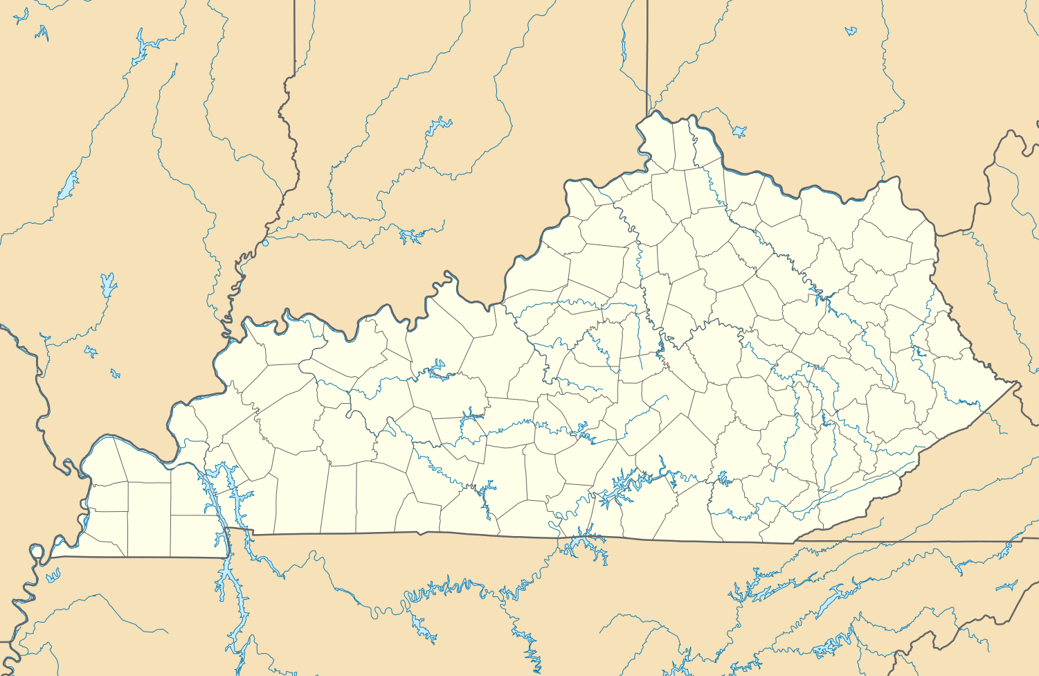 Artemus Artemus's position in Kentucky. | |
| Coordinates: 36°49′59″N 83°50′38″W / 36.83306°N 83.84389°WCoordinates: 36°49′59″N 83°50′38″W / 36.83306°N 83.84389°W | |
| Country |
|
| State |
|
| County | Knox |
| Elevation | 305 m (1,001 ft) |
| Time zone | Eastern (EST) (UTC-5) |
| • Summer (DST) | EDT (UTC-4) |
| ZIP Code | 40903 |
| Area code(s) | 606 |
| GNIS feature ID | 2629567 |
| U.S. Geological Survey Geographic Names Information System: Artemus, Kentucky | |
Artemus (also, Nip and Tuck)[1] is a census-designated place in Knox County, Kentucky, United States.[2] The 2010 United States Census reported that Artemus's population is 590, of which 572 persons are white and 5 persons are black.[3]
Climate
The climate in this area is characterized by hot, humid summers and generally mild to cool winters. According to the Köppen Climate Classification system, Artemus has a humid subtropical climate, abbreviated "Cfa" on climate maps.[4]
References
- ↑ U.S. Geological Survey Geographic Names Information System: Artemus, Kentucky
- ↑ "Feature Detail Report for: Artemus, Kentucky." USGS. U.S. Geological Survey Geographic Names Information System: Artemus, Kentucky Retrieved May 11, 2011.
- ↑ http://factfinder2.census.gov/faces/tableservices/jsf/pages/productview.xhtml?pid=DEC_10_PL_GCTPL1.ST10&prodType=table 2010 US Census report for Kentucky
- ↑ Climate Summary for Artemus, Kentucky
Municipalities and communities of Knox County, Kentucky, United States | ||
|---|---|---|
| Cities |  | |
| CDPs | ||
| Other unincorporated communities | ||
| Ghost towns | ||
| Footnotes | ‡This populated place also has portions in an adjacent county | |
This article is issued from Wikipedia - version of the 9/18/2014. The text is available under the Creative Commons Attribution/Share Alike but additional terms may apply for the media files.