Armadale, Victoria
| Armadale Melbourne, Victoria | |||||||||||||
|---|---|---|---|---|---|---|---|---|---|---|---|---|---|
 Armadale railway station | |||||||||||||
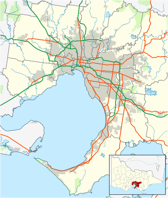 Armadale Location in metropolitan Melbourne | |||||||||||||
| Coordinates | 37°51′25″S 145°01′16″E / 37.857°S 145.021°ECoordinates: 37°51′25″S 145°01′16″E / 37.857°S 145.021°E | ||||||||||||
| Population | 8,760 (2011 census)[1] | ||||||||||||
| • Density | 3,980/km2 (10,310/sq mi) | ||||||||||||
| Postcode(s) | 3143 | ||||||||||||
| Area | 2.2 km2 (0.8 sq mi) | ||||||||||||
| Location | 7 km (4 mi) from Melbourne | ||||||||||||
| LGA(s) | City of Stonnington | ||||||||||||
| State electorate(s) | Malvern | ||||||||||||
| Federal Division(s) | Higgins | ||||||||||||
| |||||||||||||
Armadale is a suburb of Melbourne, Victoria, Australia, 7 km south-east of Melbourne's Central Business District. Its local government area is the City of Stonnington. At the 2011 census, Armadale had a population of 8,760.
The suburb has its own railway station, as well as Toorak railway station, which is also in Armadale. It is bordered by Glenferrie Road to the east, Orrong Road to the west, Malvern Road to the north and Dandenong Road/Princes Highway to the south.
History
Armadale is named after Armadale, Sutherland in Scotland. This was because one of Armadale notable residents, James Munro, 15th Premier of Victoria, was born in Armadale, Sutherland. Armadale Post Office on High Street opened on 2 October 1884. The Armadale North Post Office, near Toorak Station, opened in 1940.[2]
Demographics
In Armadale, 64.5% of people were born in Australia. The most common countries of birth were England 3.6%, India 2.7%, China (excludes SARs and Taiwan) 2.5%, New Zealand 2.4% and Greece 1.4%.
The most common responses for religion in Armadale were No Religion 27.2%, Catholic 19.0%, Anglican 17.0%, Judaism 6.0% and Eastern Orthodox 4.2%.
Today
The suburb, which borders Toorak, long regarded Melbourne's top suburb, is considered one of Melbourne's premier blue chip areas, with High Street, its main thoroughfare, containing many antique and high fashion shops. Glenferrie Road, a divider between Armadale and neighbouring suburb Malvern, is well known for its shopping and restaurants. Armadale contains and is in close proximity to a number of Melbourne's leading private schools, including Lauriston Girls' School and the King David School. Armadale also contains a number of parks, including Toorak Park, Victory Square Reserve, Armadale Reserve and the Union Street Gardens.
Notable citizens
- Forbes Carlile – Olympics swimming coach was born in Armadale in 1921.
- Missy Higgins – Singer-songwriter who attended Armadale Primary School.[3]
- Ross Higgins – Actor, best known for his role as Ted Bulpitt in the television series Kingswood Country was born in Armadale in 1931.
- Sam Loxton – Test cricketer who attended Armadale Public School.
- Leonie Wood – Journalist with The Age, lives in Armadale.
See also
- City of Malvern - the former local government area of which Armadale was a part
- City of Prahran - the former local government area of which Armadale was a part
References
- ↑ Australian Bureau of Statistics (31 October 2012). "Armadale (State Suburb)". 2011 Census QuickStats. Retrieved 17 July 2012.
- ↑ Premier Postal History. "Post Office List". Retrieved 11 April 2008.
- ↑ Ovenden, Rebecca (17 November 2007). "Missy Higgins". The Gold Coast Bulletin. News Corporation. Archived from the original on 11 January 2010. Retrieved 19 January 2010.