Al-Ariqah
| Ariqah عريقة | |
|---|---|
| Town | |
|
Shrine of Ammar bin Yasser in Ariqah | |
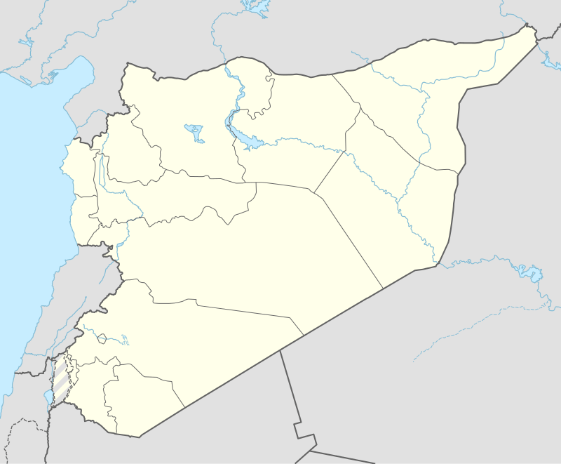 Ariqah Location in Syria | |
| Coordinates: 32°53′20″N 36°29′00″E / 32.88889°N 36.48333°E | |
| Country |
|
| Governorate | As Suwayda Governorate |
| District | Shahba District |
| Nahiyah | Al-Ariqah |
| Elevation | 800 m (2,600 ft) |
| Population (2008 est.) | |
| • Total | 3,000 |
| Time zone | EET (UTC+2) |
| • Summer (DST) | +3 (UTC) |

Ariqah or ‘Arīqah (Arabic: عريقة) is a village in southern Syria with a population of about 3,000. It is located in the heart of the rocky volcanic plateau of Lejah also called (Lajat). Administratively Ariqah is situated in the Mantiqat Shahba (Shahba district) of As Suwayda Governorate. Ariqah is known for its volcanic cave which is located in a 10 meters deep hollow in the centre of the village. This cave is known as Ariqa Cave which extends from 2 to 3 kilometers in the old lava streams, it is the biggest known cave in southern Syria.
History
Historically ‘Arīqah was considered the centre of the inaccessible Lajat, many houses from the Byzantine epoch were found in the town and they are still inhabited by locals, there is also an old ruined Byzantine monastery in the town known as "Deir Ariqa".
In 1596 Al-Ariqah appeared in the Ottoman tax registers as 'Ahiri and was part of the nahiya of Bani Abdullah in the Qada of Hauran. It had an entirely Muslim population consisting of 18 households and 3 bachelors. Taxes were paid on wheat, barley, summer crops, goats and/or beehives and a water mill.[1]
References
- ↑ Hütteroth and Abdulfattah, 1977, p. 215.
Bibliography
| Wikimedia Commons has media related to Al-Ariqah. |
- Hütteroth, Wolf-Dieter; Abdulfattah, Kamal (1977). Historical Geography of Palestine, Transjordan and Southern Syria in the Late 16th Century. Erlanger Geographische Arbeiten, Sonderband 5. Erlangen, Germany: Vorstand der Fränkischen Geographischen Gesellschaft. ISBN 3-920405-41-2.
External links
- Map of the town, Google Maps
- Ezra-map, 20m
Coordinates: 32°53′10″N 36°28′50″E / 32.88611°N 36.48056°E
| |||||||||||||||||||||||||
| |||||||||||||||||||||||||
| |||||||||||||||||||||||||